12,5 km | 14,1 km-effort
Schoorl - Duinen
HT029
Utilisateur
Longueur
11,5 km
Altitude max
49 m
Dénivelé positif
154 m
Km-Effort
13,6 km
Altitude min
0 m
Dénivelé négatif
155 m
Boucle
Oui
Date de création :
2023-07-12 09:07:05.0
Dernière modification :
2023-07-24 15:10:58.642
3h05
Difficulté : Difficile
Application GPS de randonnée GRATUITE
À propos
Randonnée Marche de 11,5 km à découvrir à Hollande-Septentrionale, Inconnu, Bergen (NH). Cette randonnée est proposée par HT029.
Description
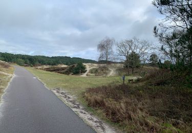
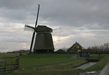
Splendide. Boucle Schoorl - Plage - Schoorl
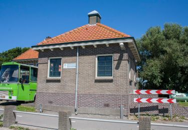
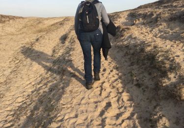
Forêt Dunes plage pavillon
Plus haute dune de Hollande
Localisation
Pays :
Pays-Bas
Région :
Hollande-Septentrionale
Département/Province :
Inconnu
Commune :
Bergen (NH)
Localité :
Unknown
Départ:(Dec)
Départ:(UTM)
614446 ; 5840861 (31U) N.
Commentaires
Randonnées à proximité
Het Koepeltje
A pied
Facile
Bergen (NH),
Hollande-Septentrionale,
Inconnu,
Pays-Bas
7,2 km | 8,3 km-effort
1h 53min
Oui
Groet - schoorlse duinen
Marche
Facile
Bergen (NH),
Hollande-Septentrionale,
Inconnu,
Pays-Bas
4,4 km | 5,5 km-effort
1h 15min
Oui
Burgerbrug blauw 8,1 km
A pied
Facile
Schagen,
Hollande-Septentrionale,
Inconnu,
Pays-Bas
8,6 km | 8,8 km-effort
2h 0min
Oui
Burgerbrug rood 3,8 km
A pied
Facile
Schagen,
Hollande-Septentrionale,
Inconnu,
Pays-Bas
3,8 km | 4 km-effort
54min
Oui
De Vlakken
A pied
Facile
Bergen (NH),
Hollande-Septentrionale,
Inconnu,
Pays-Bas
5,2 km | 5,6 km-effort
1h 16min
Oui
Bergen aan Zee rondje met strand
Marche
Facile
Bergen (NH),
Hollande-Septentrionale,
Inconnu,
Pays-Bas
12,6 km | 14 km-effort
3h 18min
Oui
a-nholland-noord-holland-rit-1
Moteur
Très facile
Bergen (NH),
Hollande-Septentrionale,
Inconnu,
Pays-Bas
141 km | 147 km-effort
Inconnu
Non
a-nholland-kouwe-fleikerit-2009
Moteur
Très facile
Schagen,
Hollande-Septentrionale,
Inconnu,
Pays-Bas
57 km | 60 km-effort
Inconnu
Oui