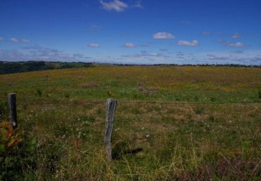
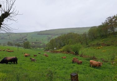
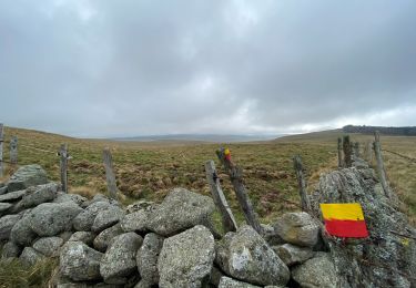
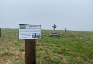
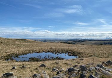
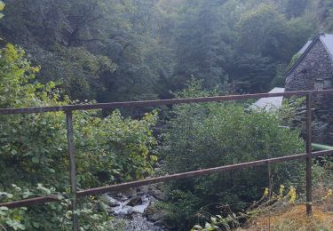
Randonnée Marche Curières - Le Devez cascade et forêts  - Photo

Le Devez cascade et forêts

 nadinebondoux
nadinebondoux

Utilisateur GUIDE

© OpenStreetMap contributors
Longueur
Longueur
11 km
Altitude max
Altitude max
1260 m
Dénivelé positif
Dénivelé positif
326 m
Km-Effort
Km-Effort  
15,4 km
Altitude min
Altitude min
1071 m
Dénivelé négatif
Dénivelé négatif
326 m
Boucle
Boucle
Oui
Date de création :
2023-07-12 09:13:21.646
Dernière modification :
2023-07-12 13:19:14.502

(1 Avis)

Marche
Marche
3h22
Difficulté : Facile

Scannez ce code QR pour ouvrir la randonnée dans l'application SityTrail

Application GPS de randonnée GRATUITE

Logo SityTrail SityTrail

IGN / Instituts géographiques

Télécharger SityTrail sur l'App Store Télécharger SityTrail sur Google Play

Logo SityTrail SityTrail World

Le monde est à vous

Télécharger SityTrail sur l'App Store Télécharger SityTrail sur Google Play Télécharger SityTrail sur Huawei AppGallery

À propos

Randonnée Marche de 11 km à découvrir à Occitanie, Aveyron, Curières. Cette randonnée est proposée par nadinebondoux.

Description

Très agréable circuit bien ombragé

Profil altimétrique

Photos

24 photos au total. Cliquez sur une photo pour les afficher toutes dans la galerie.

Localisation

Pays :
France
Région :
Occitanie
Département/Province :
Aveyron
Commune :
Curières
Localité :
Unknown
Départ:(UTM)
494881 ; 4944250 (31T) N.

Commentaires

Veuillez vous connecter pour laisser un commentaire ou une note


Jolie randonnée bien balisée. Juste à un moment la trace quitte l'itinéraire balisé sans raison apparente.


Randonnées à proximité

Randonnée Marche Saint-Chély-d'Aubrac - Aubrac - St Côme d'Olt - Chemin de St-Jacques de Compostelle - Photo
Marche
tracegps

Marche

Très difficile
(1)
Saint-Chély-d'Aubrac, Occitanie, Aveyron, France
23 km | 30 km-effort
5h 0min
Non
Randonnée Marche Saint-Chély-d'Aubrac - Mon chemin de St Guilhem étape 3 - Photo
Marche
GUIDE
nadinebondoux

Marche

Moyen
Saint-Chély-d'Aubrac, Occitanie, Aveyron, France
24 km | 29 km-effort
5h 53min
Non
Randonnée Marche Laguiole - Laguiole - Station de ski - Photo
Marche
neitag61

Marche

Moyen
(1)
Laguiole, Occitanie, Aveyron, France
7,1 km | 9,5 km-effort
1h 50min
Oui
Randonnée Marche Laguiole - Vergne noire - Photo
Marche
GUIDE
antignacs

Marche

Très facile
Laguiole, Occitanie, Aveyron, France
8,6 km | 10,7 km-effort
2h 19min
Oui
Randonnée Marche Curières - Truques d’Aubrac Pas de Mathieu  - Photo
Marche
GUIDE
antignacs

Marche

Très facile
Curières, Occitanie, Aveyron, France
9,6 km | 12,2 km-effort
2h 44min
Oui
Randonnée Marche Saint-Chély-d'Aubrac - Étape 3 Saint Gilhem  - Photo
Marche
GUIDE
Roger Philippe Wallez

Marche

Très difficile
Saint-Chély-d'Aubrac, Occitanie, Aveyron, France
23 km | 29 km-effort
6h 10min
Non
Randonnée Marche Saint-Urcize - Carbonade Croix de Goutal  - Photo
Marche
GUIDE
antignacs

Marche

Très facile
Saint-Urcize, Auvergne-Rhône-Alpes, Cantal, France
9,5 km | 12,4 km-effort
2h 37min
Oui
Randonnée Marche Saint-Chély-d'Aubrac - Compostelle / Chemin du Puy : de Aubrac à Bonneval - Photo
Marche
webmammuth

Marche

Difficile
Saint-Chély-d'Aubrac, Occitanie, Aveyron, France
33 km | 46 km-effort
11h 0min
Non
Randonnée Marche Curières - Cascade du devèz et fosse à loup - Photo
Marche
GUIDE
Roger Philippe Wallez

Marche

Difficile
Curières, Occitanie, Aveyron, France
10,8 km | 15 km-effort
4h 7min
Oui


Fermer
Mes abonnements