


9,2 km | 11,5 km-effort

Utilisateur


Application GPS de randonnée GRATUITE
 SityTrail
IGN / Instituts géographiques
SityTrail World
Le monde est à vous
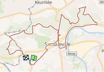
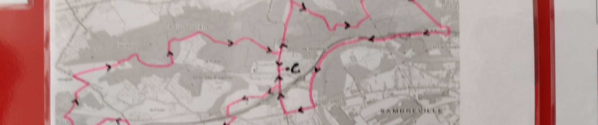
Randonnée Marche de 15,7 km à découvrir à Wallonie, Namur, Sambreville. Cette randonnée est proposée par jeangulu.
Organisateur : NA 035 _ LES KANGOUROUS DE FALISOLLE.
- 5 ém Marche des Vacances.
Point de départ : Salle Solidaire _ Rue de Fleurus _ 5060 - MOIGNELEE.
Carte IGN : 47/5.
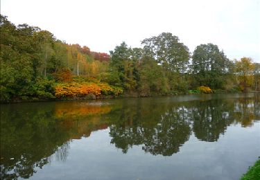
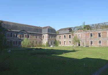
 _ Marche Fédérale _ NA _ 12/07/2023 - Photo 1")
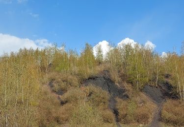
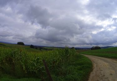
 _ Marche Fédérale _ NA _ 12/07/2023 - Photo 2")

Marche
Marche
Marche
A pied

A pied

A pied

A pied

A pied
V.T.T.