


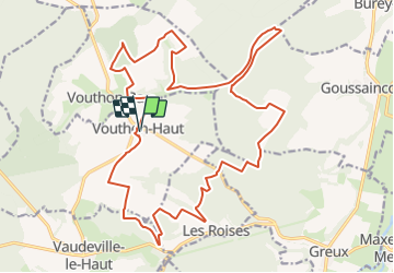

7,7 km | 9,3 km-effort


Utilisateur


Application GPS de randonnée GRATUITE
 SityTrail
IGN / Instituts géographiques
SityTrail World
Le monde est à vous
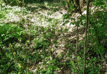
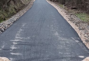
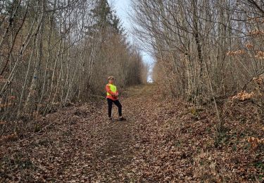
Randonnée V.T.T. de 25 km à découvrir à Grand Est, Meuse, Vouthon-Haut. Cette randonnée est proposée par CDSM 55.
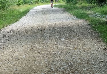
Accessible à tous ceux qui pédalent un peu, même s certains passages sont un peu raides. Mais à pied, pas de problème, et puis vous avez le choix de plusieurs raccourcis


Marche
Marche
Marche
Marche
Marche

Marche

V.T.T.
V.T.T.
Marche