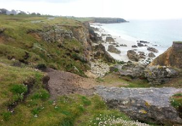
7 km | 8 km-effort
Melon 02 juillet 23
joelclaudel
Utilisateur
Longueur
9,1 km
Altitude max
38 m
Dénivelé positif
84 m
Km-Effort
10,3 km
Altitude min
0 m
Dénivelé négatif
87 m
Boucle
Oui
Date de création :
2023-07-02 13:05:35.291
Dernière modification :
2023-07-02 16:40:10.433
2h18
Difficulté : Moyen
Application GPS de randonnée GRATUITE
À propos
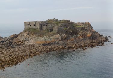
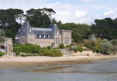
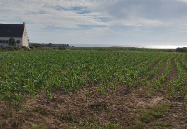
Randonnée Marche de 9,1 km à découvrir à Bretagne, Finistère, Porspoder. Cette randonnée est proposée par joelclaudel.
Description
Fiche 28 du guide FFRP Le Pays d'Iroise à pied
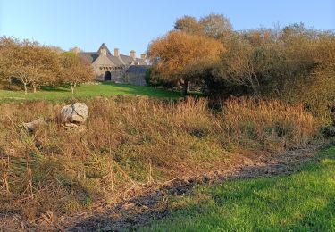
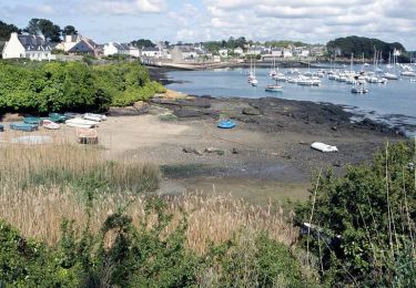
La Chapelle Saint Ourzal
Localisation
Pays :
France
Région :
Bretagne
Département/Province :
Finistère
Commune :
Porspoder
Localité :
Unknown
Départ:(Dec)
Départ:(UTM)
369099 ; 5371696 (30U) N.
Commentaires
Randonnées à proximité
09.09.23 Lampaul- Plouarzel -- Le Conquet
Marche
Très difficile
Lampaul-Plouarzel,
Bretagne,
Finistère,
France
21 km | 26 km-effort
5h 49min
Non
Lanpaul - Lochrist
Marche
Moyen
Lampaul-Plouarzel,
Bretagne,
Finistère,
France
19,8 km | 24 km-effort
5h 7min
Non
porspoder
Marche nordique
Très facile
Porspoder,
Bretagne,
Finistère,
France
13,2 km | 14,4 km-effort
3h 13min
Oui
Aber Ildut - Tremazan
Marche
Facile
Lanildut,
Bretagne,
Finistère,
France
19,5 km | 22 km-effort
4h 42min
Non
Circuit de la pointe Garchine par les terres.
Marche
Très facile
(1)
Porspoder,
Bretagne,
Finistère,
France
9,3 km | 10,5 km-effort
2h 57min
Oui
GR 34 étape 32
Marche
Facile
Porspoder,
Bretagne,
Finistère,
France
33 km | 37 km-effort
8h 44min
Non
Lanildut Porspoder
Marche
Moyen
(1)
Lanildut,
Bretagne,
Finistère,
France
18,3 km | 21 km-effort
4h 34min
Oui
Les Menhirs, circuit n°3
Vélo
Moyen
Porspoder,
Bretagne,
Finistère,
France
25 km | 29 km-effort
1h 30min
Oui