


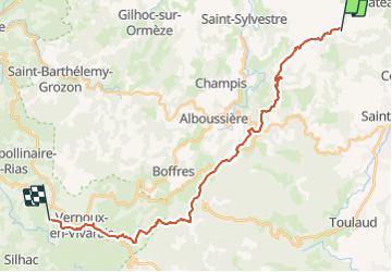

31 km | 41 km-effort


Utilisateur GUIDE


Application GPS de randonnée GRATUITE
 SityTrail
IGN / Instituts géographiques
SityTrail World
Le monde est à vous
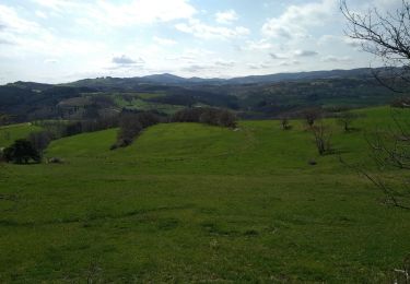
Randonnée Randonnée équestre de 26 km à découvrir à Auvergne-Rhône-Alpes, Ardèche, Saint-Romain-de-Lerps. Cette randonnée est proposée par holtzv.
St Romain de Lerps à Vernoux en Vivarais, domaine des Blanches chez Mathilde. Pique nique à la croix St André.

V.T.T.

Marche
Marche

sport

Marche
Marche
Marche
Marche

Marche