


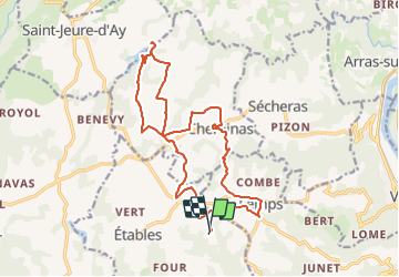

18,8 km | 25 km-effort


Utilisateur GUIDE


Application GPS de randonnée GRATUITE
 SityTrail
IGN / Instituts géographiques
SityTrail World
Le monde est à vous
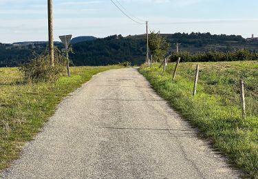
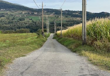
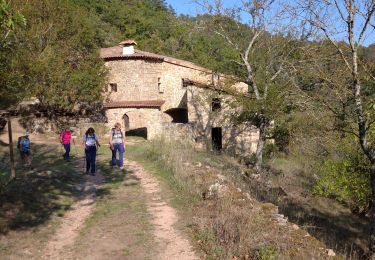
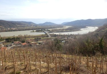
Randonnée Randonnée équestre de 18,8 km à découvrir à Auvergne-Rhône-Alpes, Ardèche, Étables. Cette randonnée est proposée par holtzv.
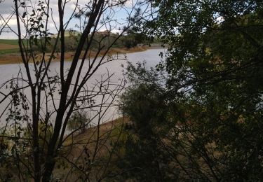
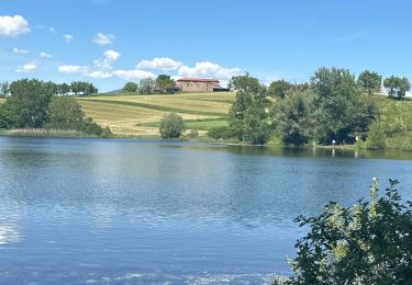
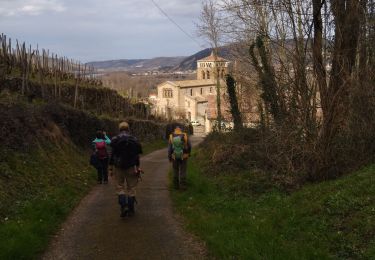
Départ et arrivée à Sarlia en passant par Cheminas, visite à Mme le Maire. Pique nique au lac de Beaulieu, Ladray.
Marche

Moteur

sport
Marche
A pied
A pied
Marche

Marche
Marche