![](/images/other/stat-length.png)
![Randonnée Marche Cognin-les-Gorges - Cognin-les-Gorges - Gorges du Nan - Malleval-en-Vercors - Photo](https://media.geolcdn.com/t/1900/400/ade7945e-a7c5-44bc-b392-a4cb822d8799.jpg&format=pjpeg&maxdim=2)
Cognin-les-Gorges - Gorges du Nan - Malleval-en-Vercors
Philindy26
Utilisateur
![Longueur](/images/other/stat-length.png)
![Altitude max](https://static1.geolcdn.com/siteimages/upload/files/1508320355ic_sort_altitude_max_24dp.png)
![Dénivelé positif](https://static1.geolcdn.com/siteimages/upload/files/1508320355ic_sort_den_pos_24dp.png)
![Km-Effort](/images/other/stat-length.png)
![Altitude min](https://static1.geolcdn.com/siteimages/upload/files/1508320355ic_sort_altitude_min_24dp.png)
![Dénivelé négatif](https://static1.geolcdn.com/siteimages/upload/files/1508320355ic_sort_den_neg_24dp.png)
![Boucle](https://static1.geolcdn.com/siteimages/upload/files/16400158638029165_repeat_loop_refresh_sync_direction_icon.png)
![Marche](https://static1.geolcdn.com/sitytour/trail-icons/101.png)
5h30
Difficulté : Difficile
![Scannez ce code QR pour ouvrir la randonnée dans l'application SityTrail](https://capi.geolives.com/qq0zvz2zws4bq2lad0pu/sitytour/trails/3710572/qr.png?size=200)
Application GPS de randonnée GRATUITE
À propos
Randonnée Marche de 15,6 km à découvrir à Auvergne-Rhône-Alpes, Isère, Cognin-les-Gorges. Cette randonnée est proposée par Philindy26.
Description
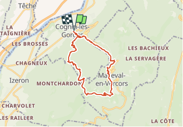
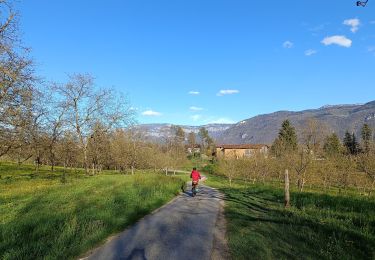
Départ de Cognin-les-Gorges (280 m), en Isère.
Géolocalisation (Google Maps) : https://goo.gl/maps/e4Ykr8TxkfCvfKTT7
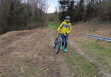
Montez au village de Malleval-en-Vercors en passant par le Pont de Montchardon (302 m), les Gorges du Nan (642 m), le Moulin (678 m) et la Croix de Gène (895 m),
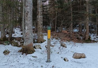
Arrivée au village de Malleval-en-Vercors, continuez par la Fontaine (945 m), la Croix de Railletière (971 m), Chez Courtieux (966 m) et la Vieille (1012 m) pour arriver au Fayard de Gontier (1060 m).
La descente s'effectue par Freissinet (1135 m), le Bassin d'Inard (750 m), le Petit Montchardon (685 m) et le Pont de Montchardon (302 m).
Et enfin retour à Cognin-les-Gorges (280 m)...
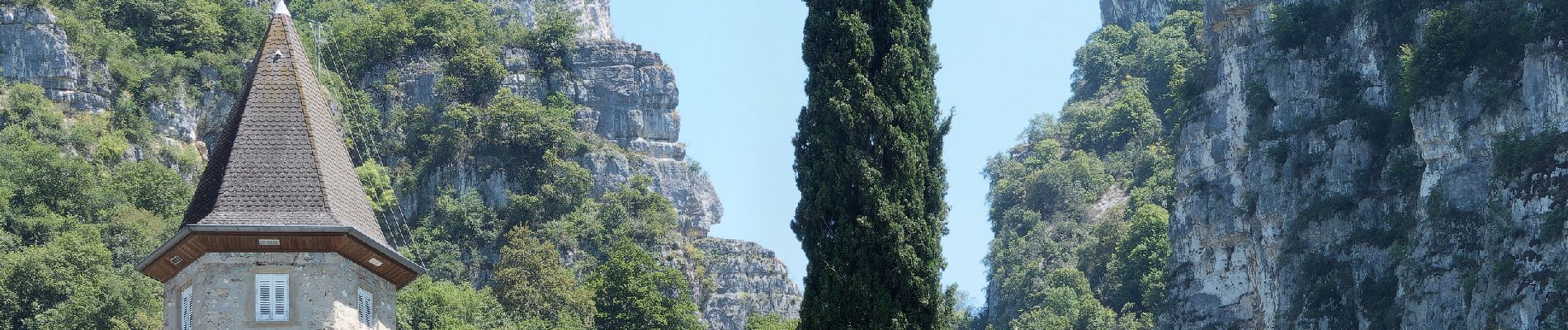
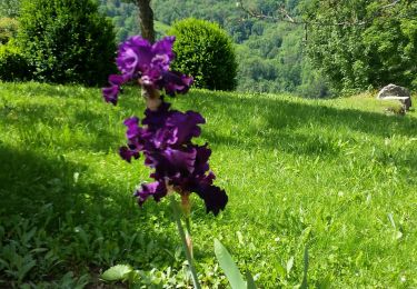
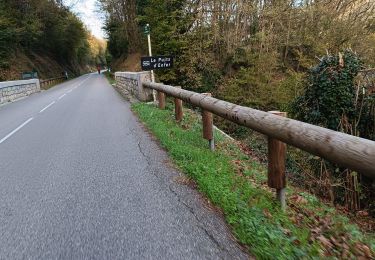
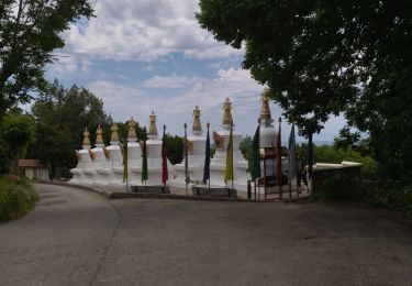
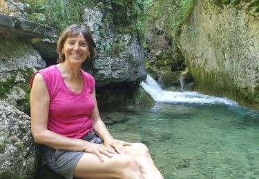
Localisation
Commentaires
Randonnées à proximité
![Randonnée Marche Cognin-les-Gorges - gerlette abs - Photo](https://media.geolcdn.com/t/375/260/c8110e9f-bd5d-4d92-bba6-1a7936beeb04.jpg&format=jpg&maxdim=2)
![Marche Marche](https://static1.geolcdn.com/sitytour/trail-icons/101.png)
Marche
![](/images/other/stat-length.png)
![](https://static1.geolcdn.com/siteimages/upload/files/16400158638029165_repeat_loop_refresh_sync_direction_icon.png)
![Randonnée Marche Malleval-en-Vercors - pas du Follet en boucle - Photo](https://media.geolcdn.com/t/375/260/ext.jpg?maxdim=2&url=https%3A%2F%2Fstatic1.geolcdn.com%2Fsiteimages%2Fupload%2Ffiles%2F1553511878bg_sport_marche.png)
![Marche Marche](https://static1.geolcdn.com/sitytour/trail-icons/101.png)
Marche
![](/images/other/stat-length.png)
![](https://static1.geolcdn.com/siteimages/upload/files/16400158638029165_repeat_loop_refresh_sync_direction_icon.png)
![Randonnée Vélo de route Beaulieu - Beaulieu - Cognin par la pisciculture - Photo](https://media.geolcdn.com/t/375/260/35ef182e-2ae6-4c48-a6bb-babdec0fa24b.jpg&format=jpg&maxdim=2)
![Vélo de route Vélo de route](https://static1.geolcdn.com/sitytour/trail-icons/201.png)
Vélo de route
![](/images/other/stat-length.png)
![](https://static1.geolcdn.com/siteimages/upload/files/16400158638029165_repeat_loop_refresh_sync_direction_icon.png)
![Randonnée V.T.T. Beaulieu - Fond de Beaulieu- Treillins - Cognin , balade en vélo - Photo](https://media.geolcdn.com/t/375/260/25a5486a-ec56-4bc3-8edc-1f81e2cba7ba.jpg&format=jpg&maxdim=2)
![V.T.T. V.T.T.](https://static1.geolcdn.com/sitytour/trail-icons/202.png)
V.T.T.
![](/images/other/stat-length.png)
![](https://static1.geolcdn.com/siteimages/upload/files/16400158638029165_repeat_loop_refresh_sync_direction_icon.png)
![Randonnée V.T.T. Vinay - Vinay-Serre de TrellinsPlaine-Pont de Treillins - Photo](https://media.geolcdn.com/t/375/260/ccbde911-1943-49b6-b0da-7e8d0a5dd2db.jpg&format=jpg&maxdim=2)
![V.T.T. V.T.T.](https://static1.geolcdn.com/sitytour/trail-icons/202.png)
V.T.T.
![](/images/other/stat-length.png)
![](https://static1.geolcdn.com/siteimages/upload/files/16400158638029165_repeat_loop_refresh_sync_direction_icon.png)
![Randonnée Marche Malleval-en-Vercors - Patente - Photo](https://media.geolcdn.com/t/375/260/60b129ee-9863-458f-8d0b-886077adfedf.jpg&format=jpg&maxdim=2)
![Marche Marche](https://static1.geolcdn.com/sitytour/trail-icons/101.png)
Marche
![](/images/other/stat-length.png)
![](https://static1.geolcdn.com/siteimages/upload/files/16400158638029165_repeat_loop_refresh_sync_direction_icon.png)
![Randonnée Marche Izeron - La lunette- fontaine et grotte de Byry - Photo](https://media.geolcdn.com/t/375/260/19a19cfc-ea7d-4041-87a8-5cc1f600b8bb.jpg&format=jpg&maxdim=2)
![Marche Marche](https://static1.geolcdn.com/sitytour/trail-icons/101.png)
Marche
![](/images/other/stat-length.png)
![](https://static1.geolcdn.com/siteimages/upload/files/16400158638029165_repeat_loop_refresh_sync_direction_icon.png)
![Randonnée Marche Izeron - 38 izeron - Photo](https://media.geolcdn.com/t/375/260/30797a16-7215-428f-aa1d-e291f6048109.jpg&format=jpg&maxdim=2)
![Marche Marche](https://static1.geolcdn.com/sitytour/trail-icons/101.png)
Marche
![](/images/other/stat-length.png)
![](https://static1.geolcdn.com/siteimages/upload/files/16400158638029165_repeat_loop_refresh_sync_direction_icon.png)
![Randonnée Marche Cognin-les-Gorges - Cognin les gorges - Photo](https://media.geolcdn.com/t/375/260/e58da0c6-5317-494c-a23f-3c145fb9c5f9.jpg&format=jpg&maxdim=2)
![Marche Marche](https://static1.geolcdn.com/sitytour/trail-icons/101.png)
Marche
![](/images/other/stat-length.png)
![](https://static1.geolcdn.com/siteimages/upload/files/16400158638029165_repeat_loop_refresh_sync_direction_icon.png)