


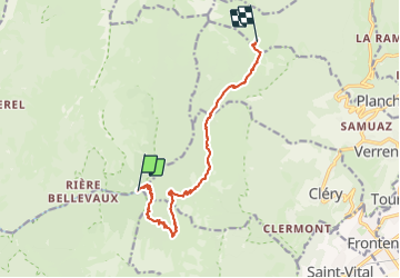

13,1 km | 24 km-effort

Utilisateur GUIDE


Application GPS de randonnée GRATUITE
 SityTrail
IGN / Instituts géographiques
SityTrail World
Le monde est à vous
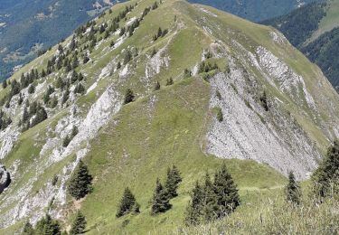
Randonnée Marche de 11,3 km à découvrir à Auvergne-Rhône-Alpes, Savoie, Jarsy. Cette randonnée est proposée par nadd73.
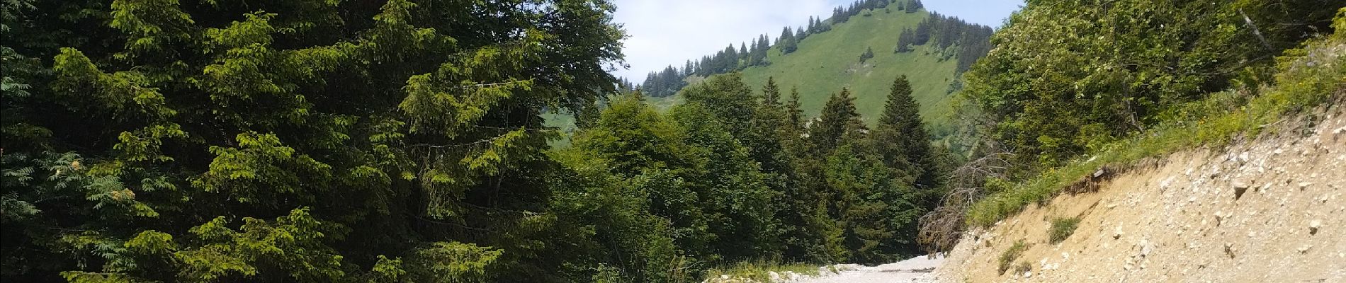
j'ai choisi cet itinéraire assez long mais avec un sac lourd j'ai préféré.
Bivouac vers le chalet de Drison
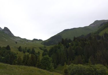
Attention 4patous


Marche
Marche

Marche

Randonnée équestre

Marche

Marche

Marche
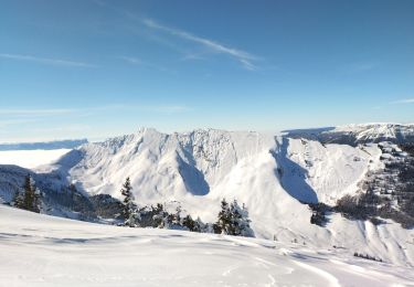
Ski de randonnée
Marche