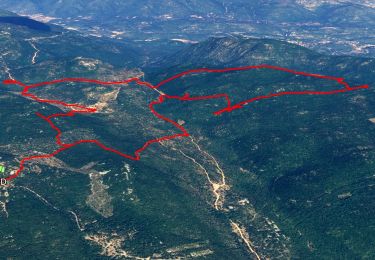
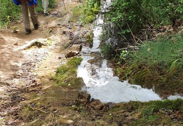
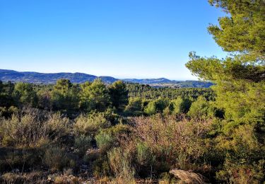
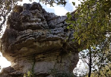
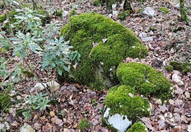
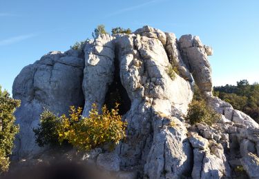
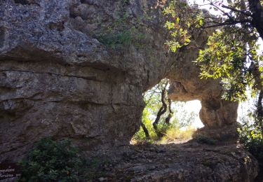
Randonnée Marche Signes - Maramouyé et Eléphant de Pierre - Photo

Maramouyé et Eléphant de Pierre

 francisdean
francisdean

Utilisateur

© OpenStreetMap contributors
Longueur
Longueur
10,4 km
Altitude max
Altitude max
659 m
Dénivelé positif
Dénivelé positif
257 m
Km-Effort
Km-Effort  
13,8 km
Altitude min
Altitude min
456 m
Dénivelé négatif
Dénivelé négatif
255 m
Boucle
Boucle
Oui
Date de création :
2016-04-22 00:00:00.0
Dernière modification :
2016-04-22 00:00:00.0

(0 Avis)

Marche
Marche
2h59
Difficulté : Facile

Scannez ce code QR pour ouvrir la randonnée dans l'application SityTrail

Application GPS de randonnée GRATUITE

Logo SityTrail SityTrail

IGN / Instituts géographiques

Télécharger SityTrail sur l'App Store Télécharger SityTrail sur Google Play

Logo SityTrail SityTrail World

Le monde est à vous

Télécharger SityTrail sur l'App Store Télécharger SityTrail sur Google Play Télécharger SityTrail sur Huawei AppGallery

À propos

Randonnée Marche de 10,4 km à découvrir à Provence-Alpes-Côte d'Azur, Var, Signes. Cette randonnée est proposée par francisdean.

Profil altimétrique

Localisation

Pays :
France
Région :
Provence-Alpes-Côte d'Azur
Département/Province :
Var
Commune :
Signes
Localité :
Unknown
Départ:(Dec)
Départ:(UTM)
733792 ; 4791321 (31T) N.

Randonnées à proximité

Randonnée Marche Solliès-Toucas - Chêne de Mistral - Puit de Junca - Les jounces - Stele - Bidoufles - Aven de l'enfer - Photo
Marche
GUIDE
affinetataille

Marche

Moyen
(1)
Solliès-Toucas, Provence-Alpes-Côte d'Azur, Var, France
12,5 km | 17,4 km-effort
6h 0min
Oui
Randonnée Marche Signes -  Chibron le Latay  - Photo
Marche
sonneville

Marche

Difficile
(1)
Signes, Provence-Alpes-Côte d'Azur, Var, France
14,2 km | 18,3 km-effort
4h 8min
Oui
Randonnée Marche Signes - Le Latay R Bandol 2b - Photo
Marche
TESSIERBANDOL

Marche

Moyen
(1)
Signes, Provence-Alpes-Côte d'Azur, Var, France
14,8 km | 19 km-effort
3h 58min
Oui
Randonnée Marche Le Beausset - le beausset abime de Maramouyé - Photo
Marche
bernir

Marche

Très facile
(1)
Le Beausset, Provence-Alpes-Côte d'Azur, Var, France
9,6 km | 13,4 km-effort
4h 32min
Oui
Randonnée Marche Solliès-Toucas - Sioux Blanc le cou de la Marquise - Photo
Marche
martinemarie

Marche

Facile
(1)
Solliès-Toucas, Provence-Alpes-Côte d'Azur, Var, France
9,4 km | 12,6 km-effort
5h 5min
Oui
Randonnée Course à pied Signes - PLATEAU DE SIOUX BLANC - LES AIGUILLES DE VALBELLE - 10KM - Photo
Course à pied
jpb83

Course à pied

Moyen
(2)
Signes, Provence-Alpes-Côte d'Azur, Var, France
9,9 km | 13,4 km-effort
1h 45min
Oui
Randonnée Autre activité Signes - Plateau de Siou Blanc 1 - Photo
Autre activité
fains-marche

Autre activité

Très facile
(1)
Signes, Provence-Alpes-Côte d'Azur, Var, France
3,2 km | 3,8 km-effort
1h 0min
Oui
Randonnée Marche Signes - Plateau de la Limate en partant de Siou Blanc - Photo
Marche
FSantoni

Marche

Difficile
Signes, Provence-Alpes-Côte d'Azur, Var, France
13,7 km | 18,2 km-effort
6h 7min
Oui
Randonnée Marche Signes - Arches de Sioux blanc et l'éléphant de pierre  - Photo
Marche
GUIDE
nadd73

Marche

Très difficile
Signes, Provence-Alpes-Côte d'Azur, Var, France
16,9 km | 22 km-effort
4h 57min
Oui


Fermer
Mes abonnements