


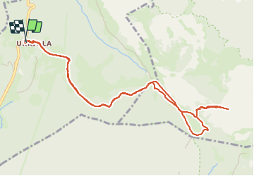

8,9 km | 12,7 km-effort


Utilisateur


Application GPS de randonnée GRATUITE
 SityTrail
IGN / Instituts géographiques
SityTrail World
Le monde est à vous
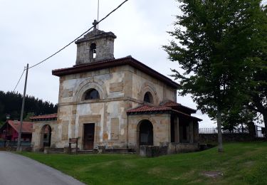
Randonnée Marche de 12,7 km à découvrir à Pays basque autonome, Biscaye, Abadiño. Cette randonnée est proposée par pacha56.
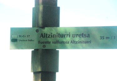
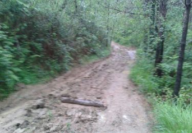
Superbe randonnée au départ du monastère d'Urkiola, en passant dans une belle forêt de résineux, la fontaine Pol- pol, avec des paysages somptueux et une montée très raide à la fin. Sujets au vertige s'abstenir
A pied

A pied
A pied
Marche
Marche

Marche
Marche
Marche
Marche