


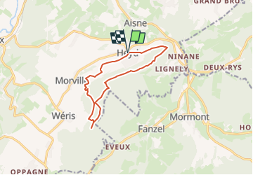

8,1 km | 10,8 km-effort


Utilisateur


Application GPS de randonnée GRATUITE
 SityTrail
IGN / Instituts géographiques
SityTrail World
Le monde est à vous
Randonnée Marche de 10,4 km à découvrir à Wallonie, Luxembourg, Durbuy. Cette randonnée est proposée par dejongm.
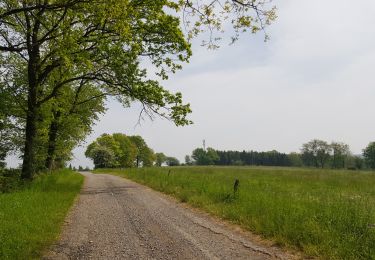
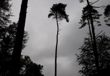
Magnifique promenade fort boisée.
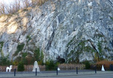
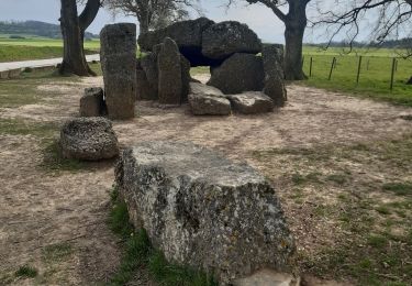
Le lit du diable, la Pierre Heina, le Col du Rideux et le Hé des Pourceaux sont autant de magnifiques lieux à voir.
Un petit banc sympathique permettra de faire un break au Refuge du Brocard

Marche

Marche
Marche

Marche

Marche
Marche
Marche
Marche
Marche