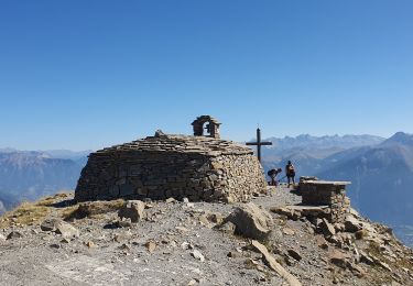
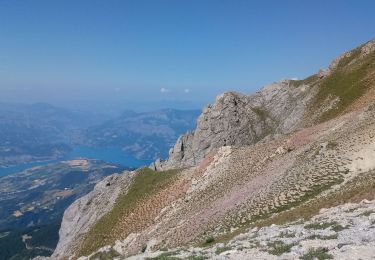
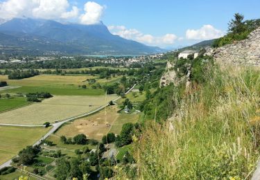
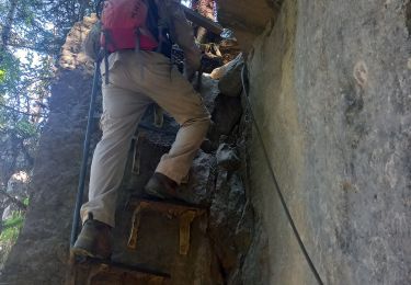
9,7 km | 15,4 km-effort
chadenas
jmgeffrin
Utilisateur
Longueur
6,6 km
Altitude max
1144 m
Dénivelé positif
343 m
Km-Effort
11,2 km
Altitude min
787 m
Dénivelé négatif
354 m
Boucle
Non
Date de création :
2023-06-12 07:40:20.039
Dernière modification :
2023-06-12 10:08:33.752
2h27
Difficulté : Moyen
Application GPS de randonnée GRATUITE
À propos
Randonnée Marche de 6,6 km à découvrir à Provence-Alpes-Côte d'Azur, Hautes-Alpes, Puy-Sanières. Cette randonnée est proposée par jmgeffrin.
Localisation
Pays :
France
Région :
Provence-Alpes-Côte d'Azur
Département/Province :
Hautes-Alpes
Commune :
Puy-Sanières
Localité :
Unknown
Départ:(Dec)
Départ:(UTM)
297438 ; 4935582 (32T) N.
Commentaires
Randonnées à proximité
canal de reyssas jusqu'aux Touisses / retour par le GR Serre-Ponçon via ravin...
Marche
Moyen
Puy-Saint-Eusèbe,
Provence-Alpes-Côte d'Azur,
Hautes-Alpes,
France
4h 51min
Oui
Mont Guillaume - Col de Trempa-Latz - 2671
Marche
Très difficile
Embrun,
Provence-Alpes-Côte d'Azur,
Hautes-Alpes,
France
13,6 km | 28 km-effort
6h 20min
Oui
Grand Morgon
Marche
Moyen
Crots,
Provence-Alpes-Côte d'Azur,
Hautes-Alpes,
France
11,4 km | 22 km-effort
4h 56min
Oui
circuit de serre verger N°25
V.T.T.
Moyen
(1)
Savines-le-Lac,
Provence-Alpes-Côte d'Azur,
Hautes-Alpes,
France
9,8 km | 15,8 km-effort
1h 30min
Non
Embrun - 3.1km 70m 1h15 - 2018 06 26
Marche
Très facile
Embrun,
Provence-Alpes-Côte d'Azur,
Hautes-Alpes,
France
3,1 km | 4,1 km-effort
1h 15min
Oui
Pic de Morgon 13.8.23
Marche
Très difficile
Savines-le-Lac,
Provence-Alpes-Côte d'Azur,
Hautes-Alpes,
France
14 km | 28 km-effort
5h 30min
Oui
Walk from Savines through exercise park
A pied
Facile
Savines-le-Lac,
Provence-Alpes-Côte d'Azur,
Hautes-Alpes,
France
3,4 km | 5,8 km-effort
1h 19min
Non
Muandes de Bourlinche 201021
Marche
Très facile
Embrun,
Provence-Alpes-Côte d'Azur,
Hautes-Alpes,
France
11,5 km | 21 km-effort
4h 3min
Oui
torrent reallon110921
Marche
Très facile
Savines-le-Lac,
Provence-Alpes-Côte d'Azur,
Hautes-Alpes,
France
7,2 km | 9,4 km-effort
4h 47min
Oui