


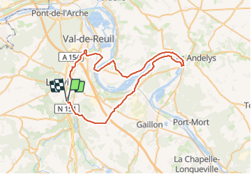

12 km | 14,7 km-effort

Utilisateur


Application GPS de randonnée GRATUITE
 SityTrail
IGN / Instituts géographiques
SityTrail World
Le monde est à vous
Randonnée Vélo de route de 59 km à découvrir à Normandie, Eure, Pinterville. Cette randonnée est proposée par jpbonnemains.
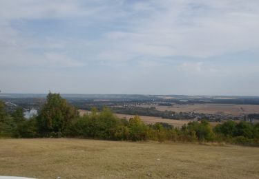
Randonnée sympa éviter le passage sur la route entre Saint-Étienne et le Vaudreuil. Mais à part ça superbe.
Déjeuner au théâtre du Moulin de Andée, accueil très sympa, menu 25 € entrée plat, fromage, dessert Evelyne.
Idéal pour reprendre la route ensuite ! ! !


Marche
Marche
Marche
Marche

Marche

Marche

Marche
Marche
Marche