


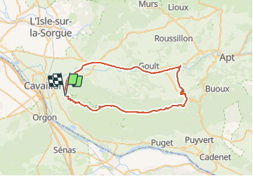

16,7 km | 27 km-effort

Utilisateur


Application GPS de randonnée GRATUITE
 SityTrail
IGN / Instituts géographiques
SityTrail World
Le monde est à vous
Randonnée V.T.T. de 55 km à découvrir à Provence-Alpes-Côte d'Azur, Vaucluse, Cavaillon. Cette randonnée est proposée par ericberlin.
Nombreux points d'intérêt:
1 https://www.destinationluberon.com/decouvrir/sites-culturels/moulin-saint-pierre-des-taillades
2 https://www.luberon-apt.fr/itineraires-pedestres-dans-le-luberon/veloroute-du-calavon-2846856
3 https://fr.wikipedia.org/wiki/Pont_Julien
4 https://www.luberon-apt.fr/village/bonnieux
5 https://www.luberon-apt.fr/la-foret-des-cedres-randonnees-a-pied-et-a-velo


Marche

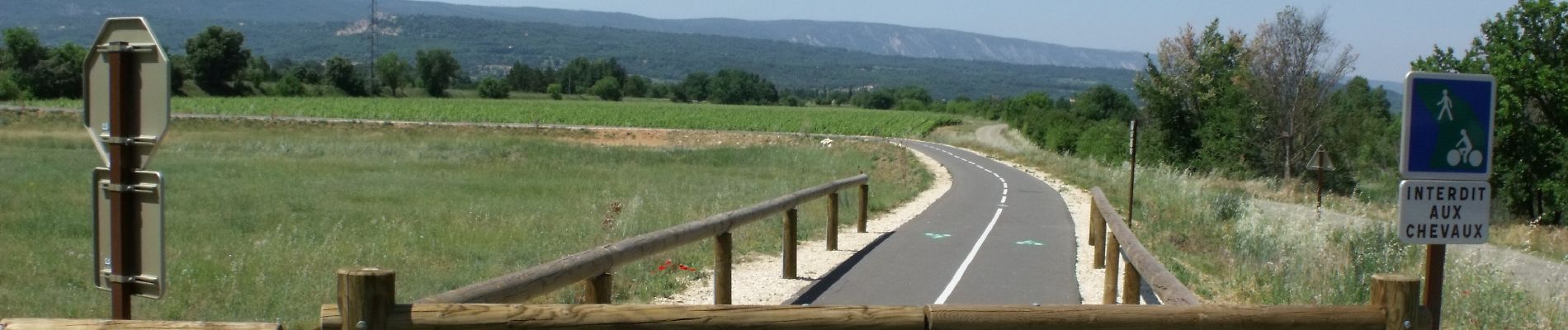
Vélo

Vélo

Vélo

Marche

Marche

Marche

Marche
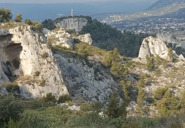
Marche