


21 km | 26 km-effort

Utilisateur


Application GPS de randonnée GRATUITE
 SityTrail
IGN / Instituts géographiques
SityTrail World
Le monde est à vous
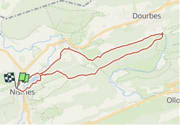
Randonnée Marche de 9,2 km à découvrir à Wallonie, Namur, Viroinval. Cette randonnée est proposée par ELISECRO.
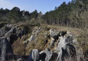
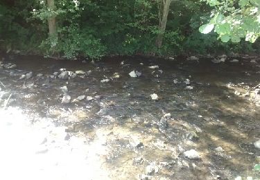
Rando uniquement dans les bois - Au départ montée jusqu'à Dourbes - à partir de la plage, retour le long du Viroin (vue sur la roche à l'Homme)
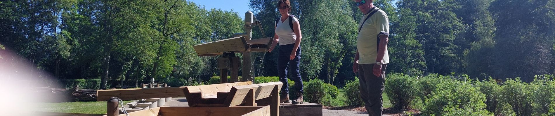
 et plage du Viroin - Photo 1")
 et plage du Viroin - Photo 2")
 et plage du Viroin - Photo 3")
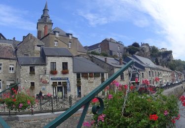
 et plage du Viroin - Photo 4")
 et plage du Viroin - Photo 5")
 et plage du Viroin - Photo 6")
Marche

Marche
Marche

Vélo

Marche
Marche

Marche

Marche

Marche nordique