


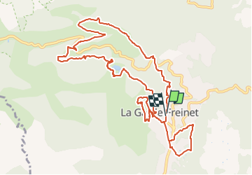

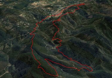
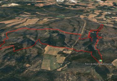
12,5 km | 19,3 km-effort

Utilisateur


Application GPS de randonnée GRATUITE
 SityTrail
IGN / Instituts géographiques
SityTrail World
Le monde est à vous
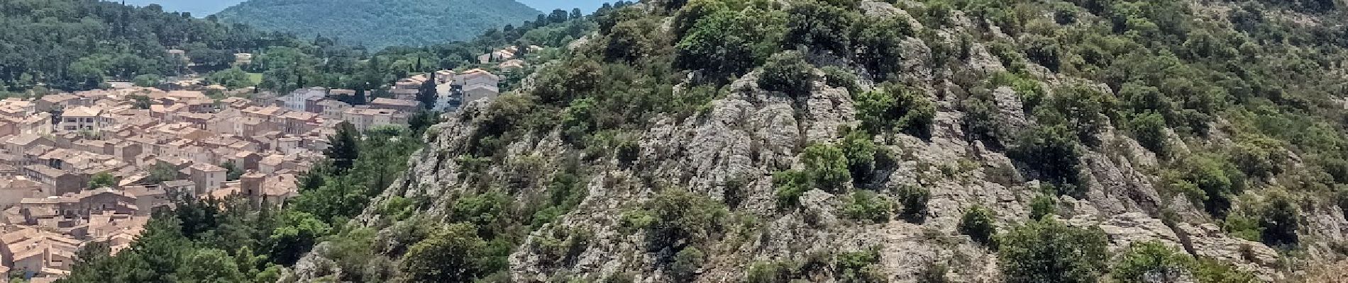
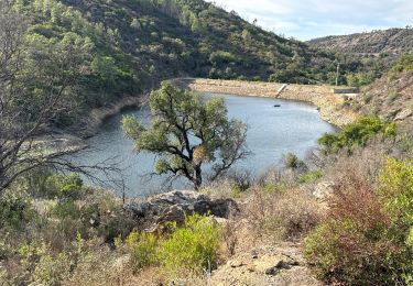
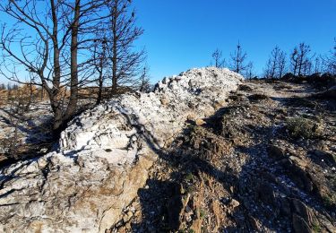
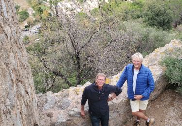
Randonnée A pied de 14 km à découvrir à Provence-Alpes-Côte d'Azur, Var, La Garde-Freinet. Cette randonnée est proposée par Christiancordin.
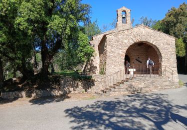
Pk-oratoire-Serre Long--ruisseau des neuf Riaux-moulin de Blanche-rucher de Blay-fort Freinet-croix des Maures-la Garde Freinet-chapelle.


Marche

Marche


sport
Marche
Marche
Marche
Marche
Marche
Marche