


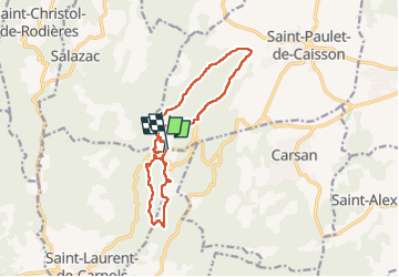

13,7 km | 17,2 km-effort

Utilisateur


Application GPS de randonnée GRATUITE
 SityTrail
IGN / Instituts géographiques
SityTrail World
Le monde est à vous
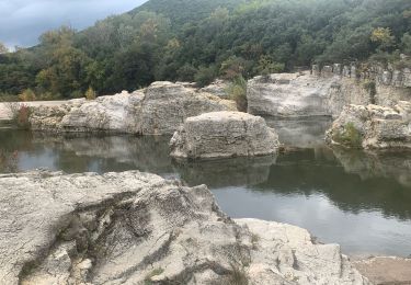
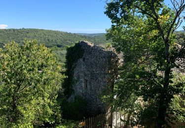
Randonnée Marche de 15,1 km à découvrir à Occitanie, Gard, Saint-Laurent-de-Carnols. Cette randonnée est proposée par GOIOLIRIBES.
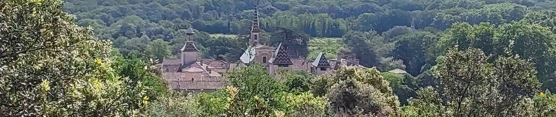
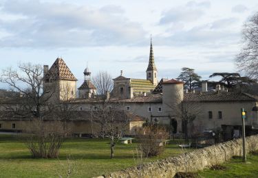
Très belle randonnée, sur des chemins et sentiers très ombragés, agréable surtout pendant de fortes chaleurs. Pique nique à la Chapelle avec tables mise à disposition complètement à l'ombre.
Groupe de 8.


Marche
Marche
Marche
Marche
Marche
Marche
Marche
Marche

Marche