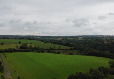
7,7 km | 9,8 km-effort
La Graverie - Romagny Fontenay
Patrick Champagneur
Utilisateur
Longueur
53 km
Altitude max
305 m
Dénivelé positif
680 m
Km-Effort
62 km
Altitude min
84 m
Dénivelé négatif
624 m
Boucle
Non
Date de création :
2023-06-01 07:03:55.0
Dernière modification :
2023-06-01 14:22:09.217
Application GPS de randonnée GRATUITE
À propos
Randonnée de 53 km à découvrir à Normandie, Calvados, Souleuvre-en-Bocage. Cette randonnée est proposée par Patrick Champagneur.
Description
Voie Verte
Localisation
Pays :
France
Région :
Normandie
Département/Province :
Calvados
Commune :
Souleuvre-en-Bocage
Localité :
La Graverie
Départ:(Dec)
Départ:(UTM)
655112 ; 5417799 (30U) N.
Commentaires
Randonnées à proximité
Vélomaritime Cherbourg Caen #J6 20210710 Le Bény-Bocage - Baron-sur-Odon
Cyclotourisme
Très facile
Souleuvre-en-Bocage,
Normandie,
Calvados,
France
64 km | 75 km-effort
Inconnu
Non
le beny bocage
Marche
Très facile
Souleuvre-en-Bocage,
Normandie,
Calvados,
France
3,6 km | 5,2 km-effort
2h 2min
Non
Le Beny Bocage petit parcours
Marche
Moyen
Souleuvre-en-Bocage,
Normandie,
Calvados,
France
6,5 km | 8,4 km-effort
1h 54min
Oui
beny bocagereperage
Marche
Difficile
Souleuvre-en-Bocage,
Normandie,
Calvados,
France
11,2 km | 14,2 km-effort
3h 10min
Oui
Le Beny Bocage
Marche
Difficile
Souleuvre-en-Bocage,
Normandie,
Calvados,
France
11 km | 13,9 km-effort
3h 7min
Oui
BENY BOCAGE
Marche
Difficile
Souleuvre-en-Bocage,
Normandie,
Calvados,
France
11,3 km | 14,3 km-effort
3h 11min
Oui
beny02
A pied
Facile
Souleuvre-en-Bocage,
Normandie,
Calvados,
France
11,5 km | 15,1 km-effort
3h 20min
Oui
beny01
A pied
Facile
Souleuvre-en-Bocage,
Normandie,
Calvados,
France
9,8 km | 13,7 km-effort
3h 10min
Oui