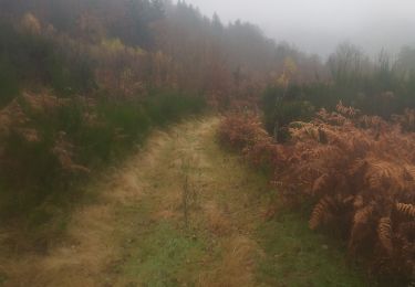
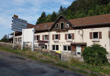
Randonnée Marche Ramonchamp - Ramonchamp les noirs etangs - Photo

Ramonchamp les noirs etangs

 pierreand
pierreand

Utilisateur

© OpenStreetMap contributors
Longueur
Longueur
11,4 km
Altitude max
Altitude max
780 m
Dénivelé positif
Dénivelé positif
361 m
Km-Effort
Km-Effort  
16,2 km
Altitude min
Altitude min
468 m
Dénivelé négatif
Dénivelé négatif
362 m
Boucle
Boucle
Oui
Date de création :
2023-05-30 12:04:46.723
Dernière modification :
2023-05-30 16:02:52.855

(0 Avis)

Marche
Marche
3h57
Difficulté : Difficile

Scannez ce code QR pour ouvrir la randonnée dans l'application SityTrail

Application GPS de randonnée GRATUITE

Logo SityTrail SityTrail

IGN / Instituts géographiques

Télécharger SityTrail sur l'App Store Télécharger SityTrail sur Google Play

Logo SityTrail SityTrail World

Le monde est à vous

Télécharger SityTrail sur l'App Store Télécharger SityTrail sur Google Play Télécharger SityTrail sur Huawei AppGallery

À propos

Randonnée Marche de 11,4 km à découvrir à Grand Est, Vosges, Ramonchamp. Cette randonnée est proposée par pierreand.

Profil altimétrique

Photos

Localisation

Pays :
France
Région :
Grand Est
Département/Province :
Vosges
Commune :
Ramonchamp
Localité :
Unknown
Départ:(UTM)
331003 ; 5306561 (32T) N.

Randonnées à proximité

Randonnée Marche Le Ménil - Boucle au départ des chalets de la
Marche
dboon

Marche

Facile
(3)
Le Ménil, Grand Est, Vosges, France
10 km | 14,1 km-effort
3h 0min
Oui
Randonnée Marche Beulotte-Saint-Laurent - Randonnée des étangs - Beulotte Saint Laurent  - Photo
Marche
tracegps

Marche

Moyen
(4)
Beulotte-Saint-Laurent, Bourgogne-Franche-Comté, Haute-Saône, France
10,7 km | 13,9 km-effort
2h 30min
Oui
Randonnée A pied Fresse-sur-Moselle - Les ballons à l’horizon - Photo
A pied
GUIDE+

A pied

Facile
Fresse-sur-Moselle, Grand Est, Vosges, France
7,7 km | 12,6 km-effort
2h 51min
Oui
Randonnée Marche Beulotte-Saint-Laurent - Beulotte-Saint-Laurent 13 700m + 317m - Photo
Marche
DanielROLLET

Marche

Facile
(1)
Beulotte-Saint-Laurent, Bourgogne-Franche-Comté, Haute-Saône, France
13,7 km | 17,9 km-effort
3h 50min
Oui
Randonnée Marche Haut-du-Them-Château-Lambert - Chateau-Lambert mines de cuivre et source de l'Oignon - Photo
Marche
ballet

Marche

Facile
(1)
Haut-du-Them-Château-Lambert, Bourgogne-Franche-Comté, Haute-Saône, France
9,6 km | 14,6 km-effort
2h 30min
Oui
Randonnée Marche Ramonchamp - Tournée de 3 chalets - Photo
Marche
spierre88

Marche

Moyen
Ramonchamp, Grand Est, Vosges, France
6,2 km | 9 km-effort
2h 3min
Oui
Randonnée Marche Fresse-sur-Moselle - Croix de Fresse - Vosges - France - Photo
Marche
boulou300

Marche

Moyen
(1)
Fresse-sur-Moselle, Grand Est, Vosges, France
13,4 km | 19,6 km-effort
3h 10min
Oui
Randonnée Marche Beulotte-Saint-Laurent - Beulotte St Laurent - le plateau des Mille Etangs - Photo
Marche
Bart2015

Marche

Difficile
Beulotte-Saint-Laurent, Bourgogne-Franche-Comté, Haute-Saône, France
22 km | 28 km-effort
4h 45min
Oui
Randonnée Marche Le Thillot - Col des Croix - Vierge des Neiges - Hautes Mines - Tête des Noirs Étangs - Château Lambert - Photo
Marche
Bart2015

Marche

Facile
Le Thillot, Grand Est, Vosges, France
10,5 km | 16 km-effort
2h 23min
Oui


Fermer
Mes abonnements