


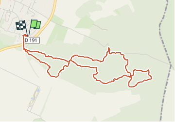


16,8 km | 19,2 km-effort

Utilisateur


Application GPS de randonnée GRATUITE
 SityTrail
IGN / Instituts géographiques
SityTrail World
Le monde est à vous
Randonnée Marche de 5,7 km à découvrir à Île-de-France, Essonne, Ballancourt-sur-Essonne. Cette randonnée est proposée par guydu41.
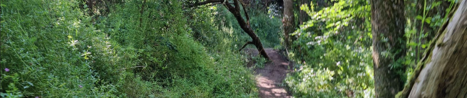
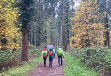
Belle petite randonnée sur des sentiers tortueux dans les bois à l'Est de Ballancourt.
Découverte d'anciennes carrières de grès.
Note : En faisant très attention, il est possible d'explorer deux cavités profondes dont une avec deux niveaux.


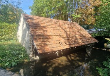
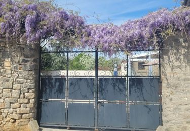
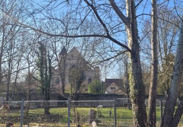
23 photos au total. Cliquez sur une photo pour les afficher toutes dans la galerie.

Marche
Marche
Marche

Marche
Marche

Marche
Marche
A pied
A pied