11,7 km | 16,3 km-effort
Belinac rs G
gcournac
Utilisateur
Longueur
25 km
Altitude max
363 m
Dénivelé positif
363 m
Km-Effort
30 km
Altitude min
181 m
Dénivelé négatif
346 m
Boucle
Non
Date de création :
2023-05-23 12:30:09.778
Dernière modification :
2023-05-23 16:01:35.769
2h48
Difficulté : Très difficile
Application GPS de randonnée GRATUITE
À propos
Randonnée Marche de 25 km à découvrir à Occitanie, Lot, Livernon. Cette randonnée est proposée par gcournac.
Description
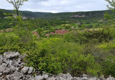
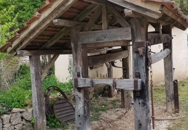
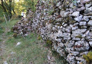
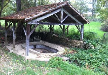
Belle rando joli hameau et beau
Menir .
Localisation
Pays :
France
Région :
Occitanie
Département/Province :
Lot
Commune :
Livernon
Localité :
Unknown
Départ:(Dec)
Départ:(UTM)
409975 ; 4942851 (31T) N.
Commentaires
Randonnées à proximité
Rando VTT 17km autour de Reyrevignes
Marche
Très difficile
(1)
Reyrevignes,
Occitanie,
Lot,
France
15,9 km | 19,1 km-effort
4h 20min
Oui
Le causse par lacoste
Marche
Très facile
(1)
Corn,
Occitanie,
Lot,
France
8,4 km | 11,7 km-effort
2h 38min
Oui
Sainte Eulalie Crayssac
Marche
Très facile
Corn,
Occitanie,
Lot,
France
11,7 km | 16,6 km-effort
3h 31min
Oui
Corn Mas de Léret
Marche
Très facile
Corn,
Occitanie,
Lot,
France
4,1 km | 5,8 km-effort
1h 43min
Oui
Compostelle 2: 2-Espagnac - Marcilhac
Marche
Moyen
Espagnac-Sainte-Eulalie,
Occitanie,
Lot,
France
22 km | 32 km-effort
7h 4min
Non
Reyrevignes et ses lavoirs
Marche
Facile
(1)
Reyrevignes,
Occitanie,
Lot,
France
7,9 km | 9,4 km-effort
2h 3min
Oui
20240419 Les Ânes du Célé à ferme Cazals
sport
Très facile
Espagnac-Sainte-Eulalie,
Occitanie,
Lot,
France
21 km | 29 km-effort
Inconnu
Non
Espagnac à Grealou.
Marche
Très difficile
Espagnac-Sainte-Eulalie,
Occitanie,
Lot,
France
24 km | 31 km-effort
7h 8min
Non