

De Saint André à Siguret Pivoines GUILLAINE

damlou
Utilisateur

Longueur
7 km

Altitude max
1137 m

Dénivelé positif
246 m

Km-Effort
10,3 km

Altitude min
937 m

Dénivelé négatif
247 m
Boucle
Oui
Date de création :
2023-05-23 07:41:37.088
Dernière modification :
2023-05-23 11:55:05.529
2h11
Difficulté : Facile

Application GPS de randonnée GRATUITE
À propos
Randonnée Marche nordique de 7 km à découvrir à Provence-Alpes-Côte d'Azur, Hautes-Alpes, Saint-André-d'Embrun. Cette randonnée est proposée par damlou.
Description
Départ maison Marie Catherine
Montee chemin. forestier
Couper champs
Descendre boucle à Siguret
Localisation
Pays :
France
Région :
Provence-Alpes-Côte d'Azur
Département/Province :
Hautes-Alpes
Commune :
Saint-André-d'Embrun
Localité :
Unknown
Départ:(Dec)
Départ:(UTM)
305417 ; 4941920 (32T) N.
Commentaires
Randonnées à proximité
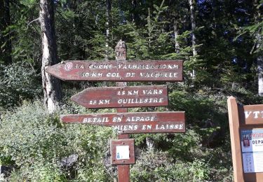
mont Aurel


Marche
Moyen
(1)
Saint-André-d'Embrun,
Provence-Alpes-Côte d'Azur,
Hautes-Alpes,
France

8,2 km | 18,4 km-effort
4h 30min
Oui

Cascade de la pisse (boucle)


Marche
Très facile
(1)
Châteauroux-les-Alpes,
Provence-Alpes-Côte d'Azur,
Hautes-Alpes,
France

8,8 km | 12,4 km-effort
2h 17min
Oui
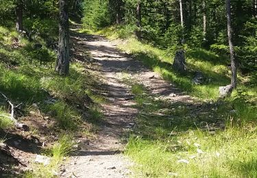
chalet de la biche . mont orel . chapelle de pra leydon . chalet de la coche


Marche
Difficile
Saint-André-d'Embrun,
Provence-Alpes-Côte d'Azur,
Hautes-Alpes,
France

9,4 km | 21 km-effort
4h 59min
Non
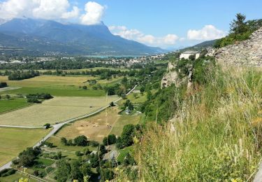
Embrun - 3.1km 70m 1h15 - 2018 06 26


Marche
Très facile
Embrun,
Provence-Alpes-Côte d'Azur,
Hautes-Alpes,
France

3,1 km | 4,1 km-effort
1h 15min
Oui

embrun


Marche
Moyen
Embrun,
Provence-Alpes-Côte d'Azur,
Hautes-Alpes,
France

13,8 km | 16 km-effort
4h 18min
Oui
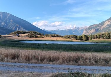
rikiki rando du lac Siguret


Marche
Très facile
Saint-André-d'Embrun,
Provence-Alpes-Côte d'Azur,
Hautes-Alpes,
France

3,3 km | 4,2 km-effort
58min
Oui
Chapelle de Pra-Leydon - Les Croix à partir du vallon de Pra-Mouton


Marche
Très difficile
Saint-André-d'Embrun,
Provence-Alpes-Côte d'Azur,
Hautes-Alpes,
France

6,8 km | 15,3 km-effort
3h 45min
Oui
Boucle lac de Siguret et Chapelle Saint Roch


Marche
Moyen
Saint-André-d'Embrun,
Provence-Alpes-Côte d'Azur,
Hautes-Alpes,
France

6,7 km | 9,6 km-effort
2h 14min
Oui
pinée et vietnam 221021


Marche
Très facile
Saint-André-d'Embrun,
Provence-Alpes-Côte d'Azur,
Hautes-Alpes,
France

39 km | 50 km-effort
4h 23min
Non


 SityTrail


Départ de chez Marie Catherine champ hautes herbes pour voir les quelques pivoines Possibilité de partir des Muandes