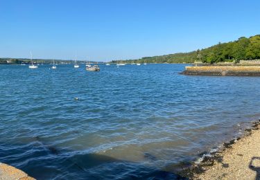
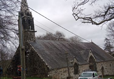
9,2 km | 12,2 km-effort
PLOUGASTEL Le Passage
mauricemear
Utilisateur
Longueur
12,1 km
Altitude max
129 m
Dénivelé positif
233 m
Km-Effort
15,2 km
Altitude min
1 m
Dénivelé négatif
231 m
Boucle
Oui
Date de création :
2018-09-01 15:24:47.549
Dernière modification :
2018-09-01 15:24:47.578
3h18
Difficulté : Moyen
Application GPS de randonnée GRATUITE
À propos
Randonnée Marche de 12,1 km à découvrir à Bretagne, Finistère, Plougastel-Daoulas. Cette randonnée est proposée par mauricemear.
Localisation
Pays :
France
Région :
Bretagne
Département/Province :
Finistère
Commune :
Plougastel-Daoulas
Localité :
Unknown
Départ:(Dec)
Départ:(UTM)
398036 ; 5359745 (30U) N.
Commentaires
Randonnées à proximité
Tour Pointe de l'Armorique
Marche
Facile
(2)
Plougastel-Daoulas,
Bretagne,
Finistère,
France
2h 38min
Oui
Tour du passage par la chapelle St Jean
Marche
Moyen
(2)
Plougastel-Daoulas,
Bretagne,
Finistère,
France
11,4 km | 14,8 km-effort
3h 4min
Oui
Le Tour de Plougastel par Daoulas
V.T.T.
Difficile
(1)
Le Relecq-Kerhuon,
Bretagne,
Finistère,
France
49 km | 61 km-effort
3h 30min
Oui
De Brest à Landerneau le long de l'Elorn
Marche
Difficile
(1)
Le Relecq-Kerhuon,
Bretagne,
Finistère,
France
21 km | 25 km-effort
5h 0min
Non
Du Port de Lauberlac'h au Port du Caro
Marche
Moyen
(1)
Plougastel-Daoulas,
Bretagne,
Finistère,
France
14,6 km | 18,6 km-effort
3h 19min
Oui
Cotaudon - Brest
Marche
Moyen
(2)
Guipavas,
Bretagne,
Finistère,
France
10,8 km | 13,2 km-effort
2h 19min
Oui
Relecq-keruon 2023
Marche
Facile
(1)
Plougastel-Daoulas,
Bretagne,
Finistère,
France
13,8 km | 17 km-effort
3h 5min
Oui
Course Plougastel
Course à pied
Facile
Plougastel-Daoulas,
Bretagne,
Finistère,
France
8,4 km | 11,1 km-effort
1h 6min
Oui
circuit des chapelles à Plougastel
Marche
Moyen
Plougastel-Daoulas,
Bretagne,
Finistère,
France
24 km | 30 km-effort
5h 37min
Oui