


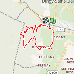

8,1 km | 18,5 km-effort


Utilisateur


Application GPS de randonnée GRATUITE
 SityTrail
IGN / Instituts géographiques
SityTrail World
Le monde est à vous
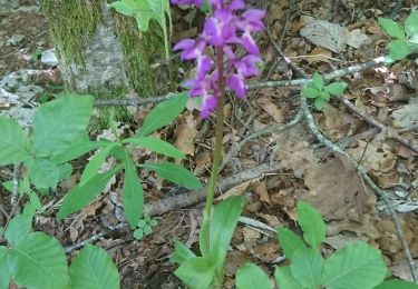
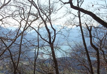
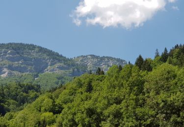
Randonnée Marche de 8,5 km à découvrir à Auvergne-Rhône-Alpes, Haute-Savoie, Alex. Cette randonnée est proposée par Patricelecerf.
31.11.14 petite ballade facile mais à faire par beau temps. gps indispensable car pas tracé ni repère
Physique 1
Technique 2

Marche
Marche

Marche
A pied

Cyclotourisme
Marche
Marche
Marche
Marche