


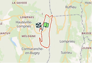

12,5 km | 15,2 km-effort


Utilisateur


Application GPS de randonnée GRATUITE
 SityTrail
IGN / Instituts géographiques
SityTrail World
Le monde est à vous
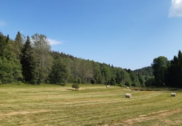
Randonnée Marche de 10,8 km à découvrir à Auvergne-Rhône-Alpes, Ain, Plateau d'Hauteville. Cette randonnée est proposée par ericf64.
Départ de Nt dame de Mazières
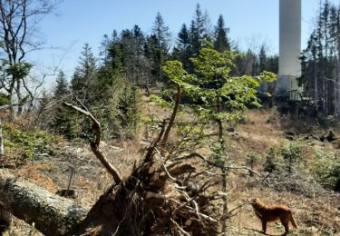
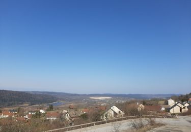
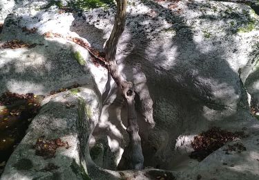
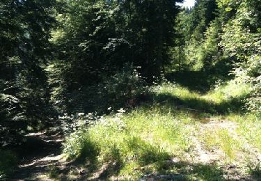
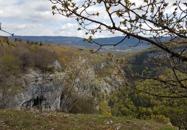
Belvédère Planachat. Boucle par les crêtes l'haiea d'amont et Gigimont
V.T.T.
Marche
Marche
Marche nordique
Marche nordique
Marche
Marche
Marche
Marche