


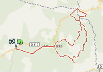

10,3 km | 13,8 km-effort

Utilisateur GUIDE


Application GPS de randonnée GRATUITE
 SityTrail
IGN / Instituts géographiques
SityTrail World
Le monde est à vous
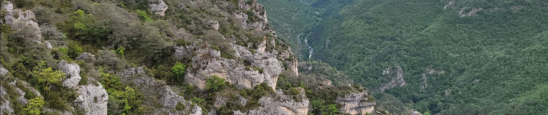
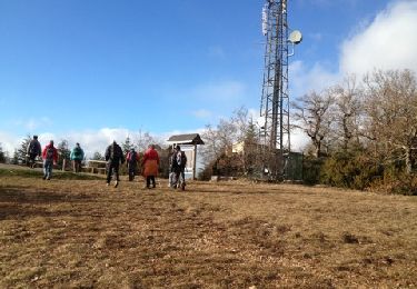
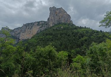
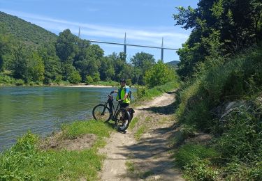
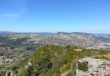
Randonnée Marche de 14,1 km à découvrir à Occitanie, Aveyron, Millau. Cette randonnée est proposée par amiral13.
Randonnée effectuée le 18 mai 2023
nous avons fait une pause de plus de 2 heures, la durée peut donc être réduite subtantiellement.


Marche

Marche
Vélo électrique
Vélo électrique

Marche
Marche

Marche
Marche

Course à pied