


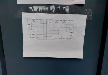
3,3 km | 3,6 km-effort

Utilisateur


Application GPS de randonnée GRATUITE
 SityTrail
IGN / Instituts géographiques
SityTrail World
Le monde est à vous
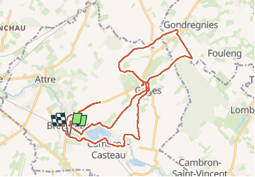
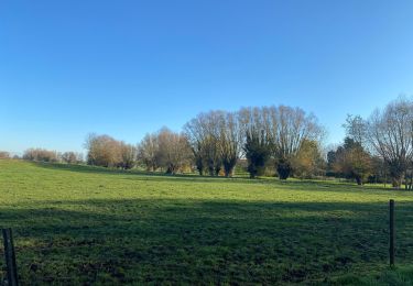
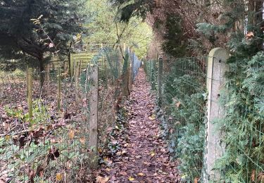
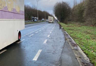
Randonnée Marche de 21 km à découvrir à Wallonie, Hainaut, Brugelette. Cette randonnée est proposée par jeangulu.
Point de départ : Salle Omnisports _ Avenue G Petit ( Parc Communal ) _ 7940 - BRUGELETTE.
Organisateur : HT 001 _LES SUCRIERS DE BRUGELETTE.
4ème Marche des Nerviers.
Carte IGN : 38/6


A pied
A pied

Marche
Marche

Marche
Course à pied
Marche
Course à pied
Marche