


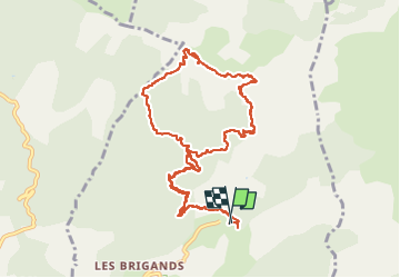

11 km | 22 km-effort

Utilisateur GUIDE


Application GPS de randonnée GRATUITE
 SityTrail
IGN / Instituts géographiques
SityTrail World
Le monde est à vous
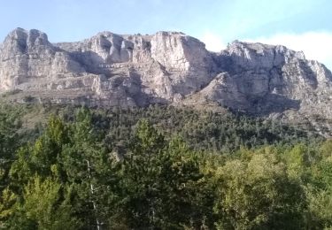
Randonnée Marche de 11,6 km à découvrir à Provence-Alpes-Côte d'Azur, Alpes-de-Haute-Provence, Hautes-Duyes. Cette randonnée est proposée par nadd73.
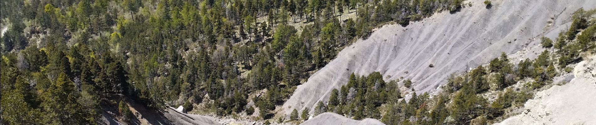
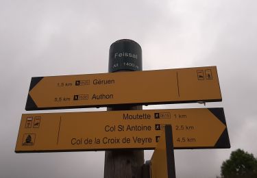
Auribeau. Belle boucle mais peu de traces parfois des cairns et points rouges. un d'escalade de quelques mètres. sinon avoir le pied sur. Passages scabreux


Marche

Marche

Marche
Marche

Marche
Marche
Marche
Marche
Marche