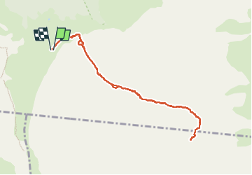

11,4 km | 13,7 km-effort


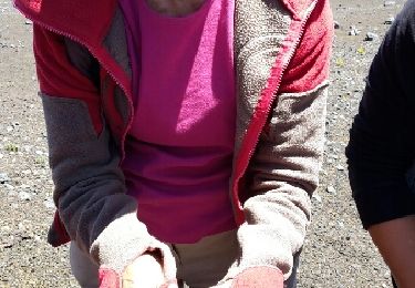
Utilisateur


Application GPS de randonnée GRATUITE
 SityTrail
IGN / Instituts géographiques
SityTrail World
Le monde est à vous
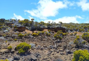
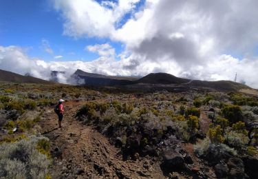
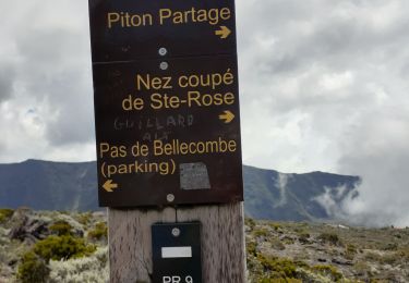
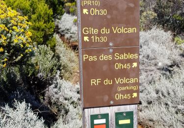
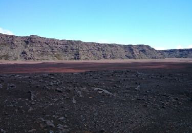
Randonnée de 13 km à découvrir à La Réunion, Inconnu, Sainte-Rose. Cette randonnée est proposée par sperchant.
Randonnée très difficile à ne pas faire si vous ne faites pas ou peu de sport.
Nous avons rencontré trop de jeunes qui sont partis inconscients sans se renseigner les difficultés de cette randonnée.
Renseignez-vous bien avant de partir.
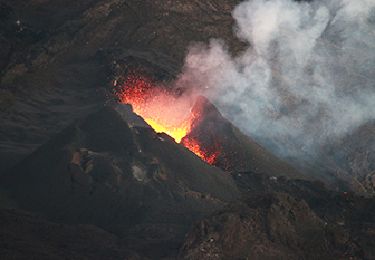
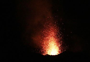
Ceci étant dit, site absolument magnifique et arrivée sur le cratère est tout Bonnement
incroyable.
Autre activité
Marche

Marche
Marche
Marche
Marche
Marche
Marche