


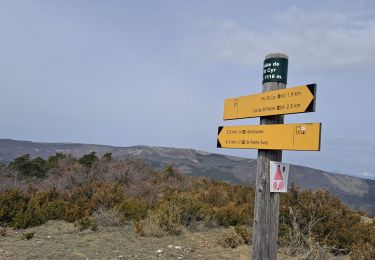
11 km | 17,2 km-effort

Utilisateur GUIDE


Application GPS de randonnée GRATUITE
 SityTrail
IGN / Instituts géographiques
SityTrail World
Le monde est à vous
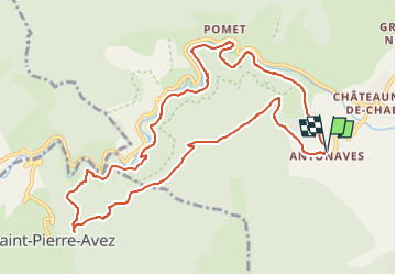
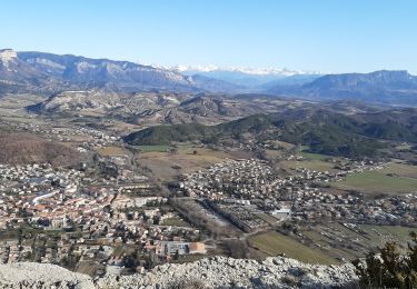
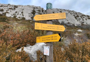
Randonnée Marche de 11,9 km à découvrir à Provence-Alpes-Côte d'Azur, Hautes-Alpes, Val-Buëch-Méouge. Cette randonnée est proposée par Marco05.
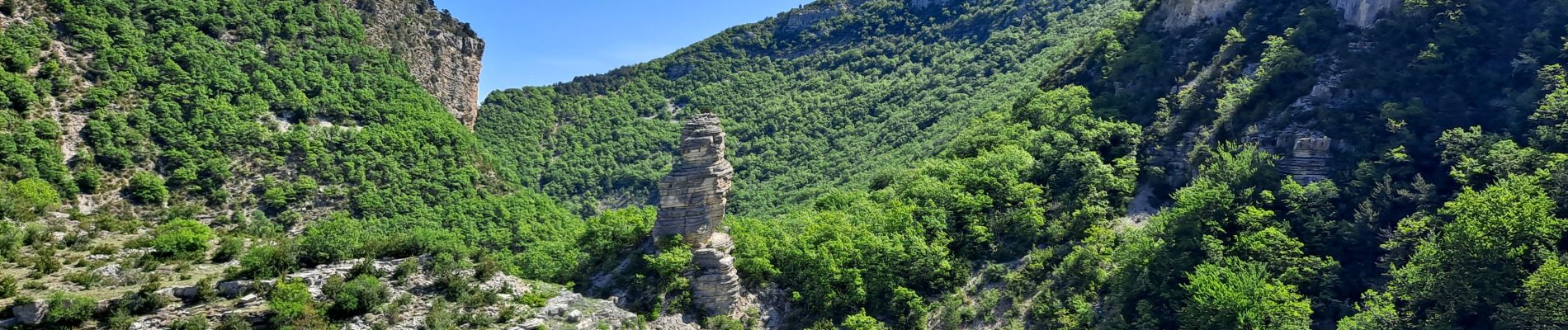
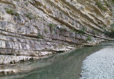
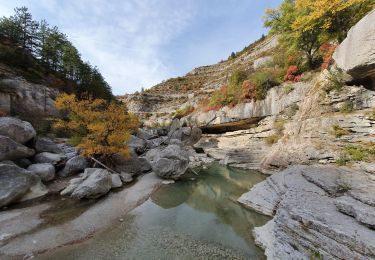
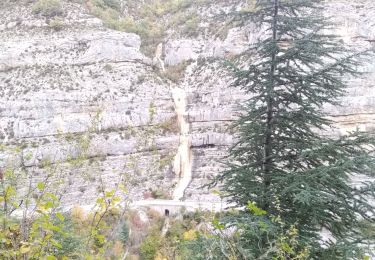
Une belle boucle qui démarre par le sentier très ebgagés qui domine les gorges.
Attention, deux ou trois passages délicats qui demande d'être concentré.
Décpnseillé aux gens ayant le vertige.


Marche
Marche
Marche
Marche
Marche

Marche
Marche
Marche
Marche