


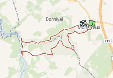

12,8 km | 15 km-effort

Utilisateur GUIDE


Application GPS de randonnée GRATUITE
 SityTrail
IGN / Instituts géographiques
SityTrail World
Le monde est à vous
Randonnée Marche de 9,1 km à découvrir à Wallonie, Brabant wallon, Nivelles. Cette randonnée est proposée par Desrumaux.
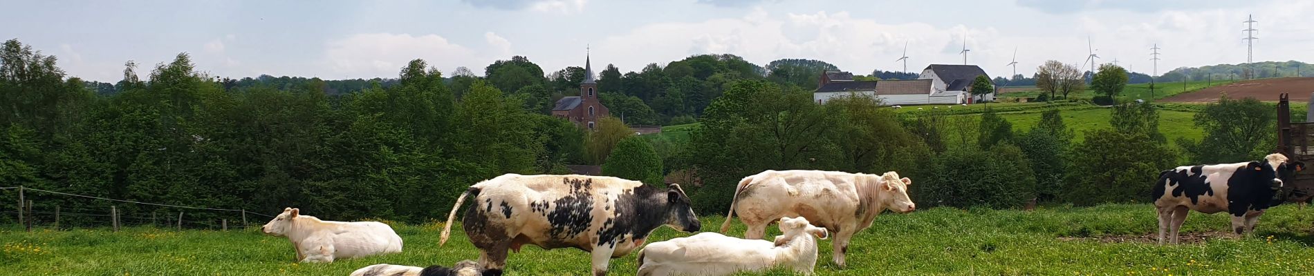
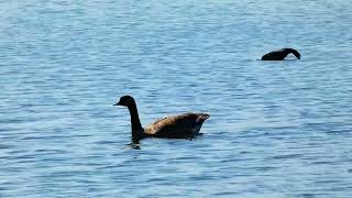
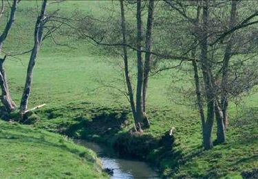
Très jolie balade dans la vallée de la Thines affluent de la Samme au départ du village de Monstreux dans l'entité de Nivelles en province de Brabant Wallon.


Marche

Marche

Marche

Marche

Marche
Marche

Marche

Marche
Marche