


7,9 km | 9,5 km-effort

Utilisateur


Application GPS de randonnée GRATUITE
 SityTrail
IGN / Instituts géographiques
SityTrail World
Le monde est à vous
Randonnée Marche de 11,3 km à découvrir à Normandie, Orne, Perche en Nocé. Cette randonnée est proposée par guydu41.
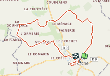
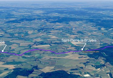
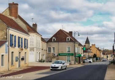
Randonnée en sens antihoraire au Nord de Préaux-du-Perche.
Ce village appartient à l'arrondissement de Mortagne-au-Perche et au canton de Nocé dans le département de l'Orne.
Le circuit commence depuis le parking Rue du Verger, 61340 Préaux-du-Perche, à proximité d'une école.
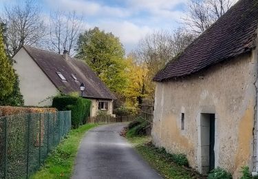
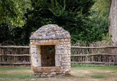
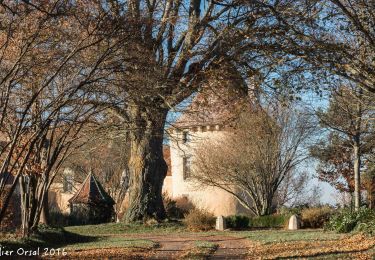
Il passe par un Parc Nature (mares, étang, lavoirs, passerelles permettant de franchir l'Erre, etc.) avant de rejoindre un circuit PR balisé jaune.
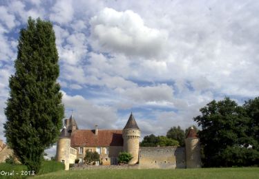
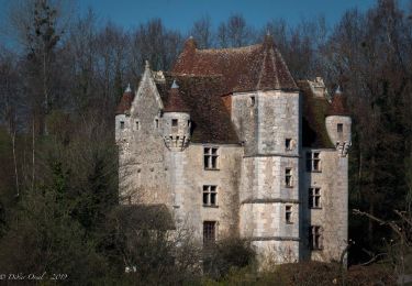
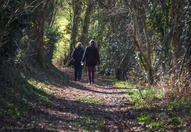
Le parcours emprunte de petites routes avec presque pas de circulation et plusieurs fois des chemins et sentiers souvent creux en sous-bois au milieu des très beaux paysages du Perche.
Il se termine en passant à côté de l'Église Saint-Germain.
Remarque : En saison humide certains passages sont très boueux et peuvent se transformer en ruisseau.


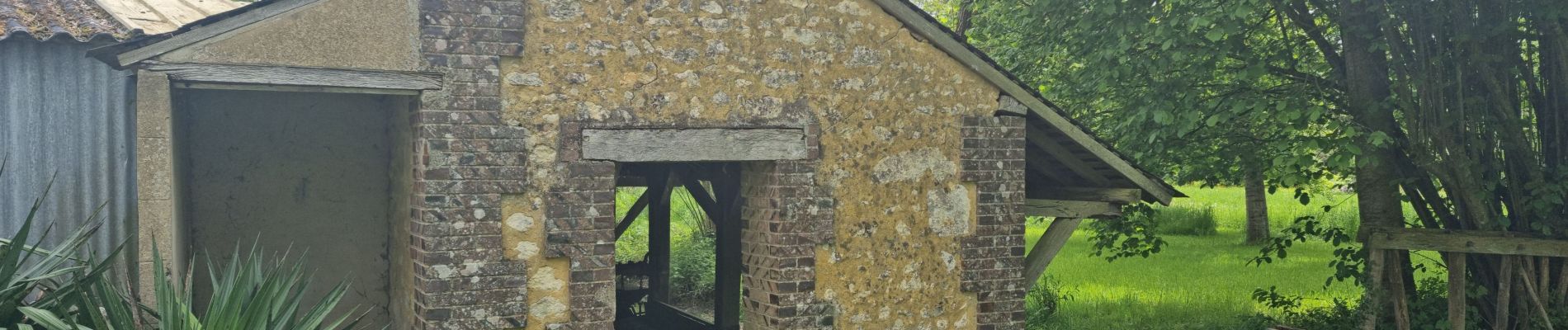
23 photos au total. Cliquez sur une photo pour les afficher toutes dans la galerie.
Marche
Marche
Marche
Marche
Marche
Marche
Marche
Marche
Marche
Petite randonnée de 11 km au Nord de Préaux-du-Perche. Ce village appartient à l'arrondissement de Mortagne-au-Perche et au canton de Nocé dans le département de l'Orne. Le circuit commence sur un parking à proximité d'une école, passe par un Parc Nature (mares, étang, lavoirs, passerelles permettant de franchir l'Erre, etc.) avant de rejoindre un circuit PR balisé jaune. Le parcours emprunte de petites routes avec presque pas de circulation et plusieurs fois des chemins et sentiers souvent creux en sous-bois au milieu des très beaux paysages du Perche. Il se termine en passant à côté de l'Eglise Saint-Germain de Préaux-du-Perche. Note : En saison humide certains passages sont très boueux et peuvent se transformer en ruisseau.