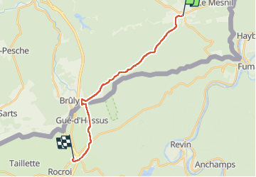

6,4 km | 9,1 km-effort


Utilisateur


Application GPS de randonnée GRATUITE
 SityTrail
IGN / Instituts géographiques
SityTrail World
Le monde est à vous
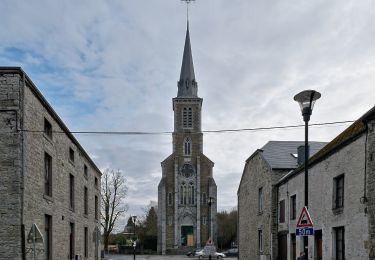
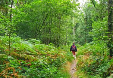
Randonnée Marche de 16,5 km à découvrir à Wallonie, Namur, Viroinval. Cette randonnée est proposée par thomarche.
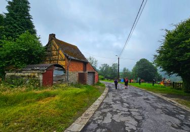
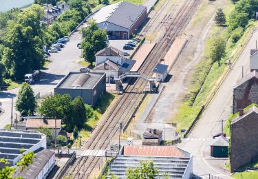
Traversée au plus profond des bois jusqu’au Bruly. Beau décrochage de tout bruit mécanique. Plus aucun réseau téléphonique. Le pied. Choc arrivée autoroute d’autant plus grand… Savoir revenir des sommets…

Marche

Marche
Marche
Marche
Marche

Marche
A pied
A pied