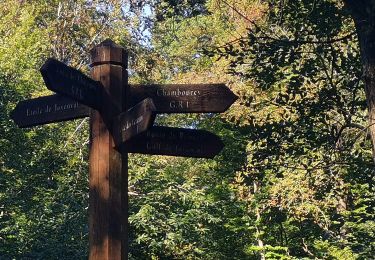
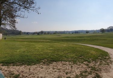
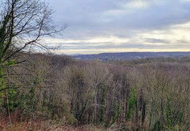
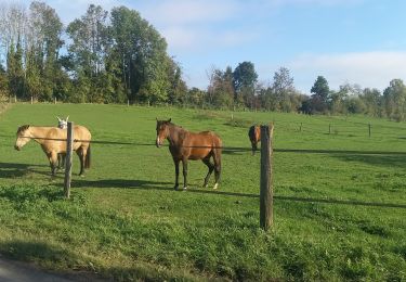
Randonnée A pied L'Étang-la-Ville - Foret de Marly - Photo
 Gathobaz
Gathobaz

Utilisateur

© OpenStreetMap contributors
Longueur
Longueur
18,8 km
Altitude max
Altitude max
192 m
Dénivelé positif
Dénivelé positif
379 m
Km-Effort
Km-Effort  
24 km
Altitude min
Altitude min
118 m
Dénivelé négatif
Dénivelé négatif
376 m
Boucle
Boucle
Oui
Date de création :
2023-05-10 08:17:10.767
Dernière modification :
2023-05-15 09:48:19.423

(1 Avis)

A pied
A pied
5h25
Difficulté : Moyen

Scannez ce code QR pour ouvrir la randonnée dans l'application SityTrail

Application GPS de randonnée GRATUITE

Logo SityTrail SityTrail

IGN / Instituts géographiques

Télécharger SityTrail sur l'App Store Télécharger SityTrail sur Google Play

Logo SityTrail SityTrail World

Le monde est à vous

Télécharger SityTrail sur l'App Store Télécharger SityTrail sur Google Play Télécharger SityTrail sur Huawei AppGallery

À propos

Randonnée A pied de 18,8 km à découvrir à Île-de-France, Yvelines, L'Étang-la-Ville. Cette randonnée est proposée par Gathobaz.

Profil altimétrique

Points d'intérêt

Point d'intérêt L'Étang-la-Ville - Départ - Photo
Gathobaz
L'ÉTANG-LA-VILLE 
Point d'intérêt L'Étang-la-Ville - Parking - Photo
Gathobaz
L'ÉTANG-LA-VILLE 
Point d'intérêt L'Étang-la-Ville - Traversée de route - Photo
Gathobaz
L'ÉTANG-LA-VILLE 
Point d'intérêt L'Étang-la-Ville - Croix St Michel - Photo
Gathobaz
L'ÉTANG-LA-VILLE 
Point d'intérêt Marly-le-Roi - Ancienne Batterie du Champs de Mars - Photo
Gathobaz
Point d'intérêt Marly-le-Roi - Ancienne Batterie des Réservoirs - Photo
Gathobaz
Point d'intérêt Marly-le-Roi - Parc de Marly - Photo
Gathobaz
MARLY-LE-ROI 
Point d'intérêt L'Étang-la-Ville - Arrivée - Photo
Gathobaz
L'ÉTANG-LA-VILLE 

Localisation

Pays :
France
Région :
Île-de-France
Département/Province :
Yvelines
Commune :
L'Étang-la-Ville
Localité :
Unknown
Départ:(UTM)
430300 ; 5413089 (31U) N.

Commentaires

Veuillez vous connecter pour laisser un commentaire ou une note


Randonnées à proximité

Randonnée Marche L'Étang-la-Ville - GRP CV-IDF 02R L'Étang-la-Ville à Poissy - Photo
Marche
clalaur

Marche

Difficile
(1)
L'Étang-la-Ville, Île-de-France, Yvelines, France
10,7 km | 13,7 km-effort
3h 6min
Non
Randonnée Marche Chambourcy - Ballade autour du golf de Chambourcy - Photo
Marche
phimar_2612

Marche

Moyen
(1)
Chambourcy, Île-de-France, Yvelines, France
8,5 km | 10,6 km-effort
1h 55min
Oui
Randonnée Marche Marly-le-Roi - Boucle 25 km Marly le Roi - Chambourcy - Photo
Marche
GUIDE
chessyca

Marche

Moyen
Marly-le-Roi, Île-de-France, Yvelines, France
25 km | 32 km-effort
7h 15min
Oui
Randonnée Marche Saint-Germain-en-Laye - Audax St Germain en Laye - Paris Tour Eiffel - Photo
Marche
GUIDE
chessyca

Marche

Facile
Saint-Germain-en-Laye, Île-de-France, Yvelines, France
29 km | 35 km-effort
4h 59min
Non
Randonnée Marche L'Étang-la-Ville - Gare de  St Nom - Boucle nocturne Gr ~2h 8,5km - Photo
Marche
sebastienu

Marche

Facile
(1)
L'Étang-la-Ville, Île-de-France, Yvelines, France
24 km | 28 km-effort
12h 14min
Non
Randonnée A pied L'Étang-la-Ville - Le tour du Grand Paris par le GR1 Etape 2 - Saint Nom la Bretèche - Triel sur Seine - Photo
A pied
GUIDE
chessyca

A pied

Difficile
L'Étang-la-Ville, Île-de-France, Yvelines, France
31 km | 36 km-effort
8h 16min
Non
Randonnée Marche Rennemoulin - 2024-11-12-Rennemoulin-fontaine de Maltoute - Photo
Marche
Rando MLC

Marche

Moyen
Rennemoulin, Île-de-France, Yvelines, France
6,6 km | 7,8 km-effort
1h 47min
Oui
Randonnée Marche Le Pecq - 20230707 RS - Photo
Marche
patb54

Marche

Facile
(1)
Le Pecq, Île-de-France, Yvelines, France
5 km | 5,8 km-effort
1h 19min
Oui
Randonnée Marche Saint-Germain-en-Laye - Terrasse st germain  - Photo
Marche
GUIDE
antignacs

Marche

Très facile
Saint-Germain-en-Laye, Île-de-France, Yvelines, France
5,4 km | 6,1 km-effort
1h 27min
Non


Fermer
Mes abonnements