


11,9 km | 17,3 km-effort

Utilisateur


Application GPS de randonnée GRATUITE
 SityTrail
IGN / Instituts géographiques
SityTrail World
Le monde est à vous
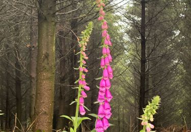
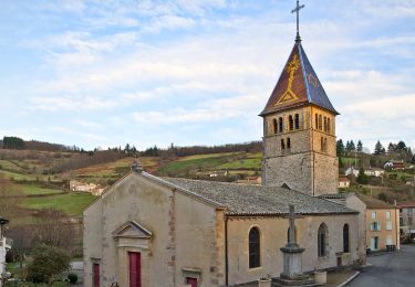
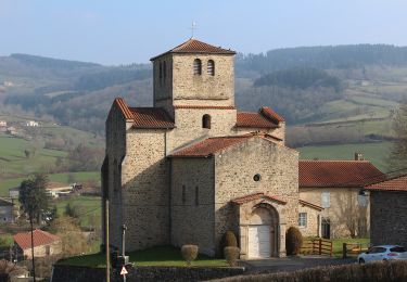
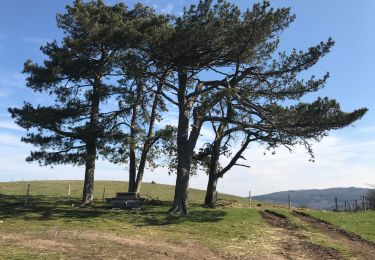
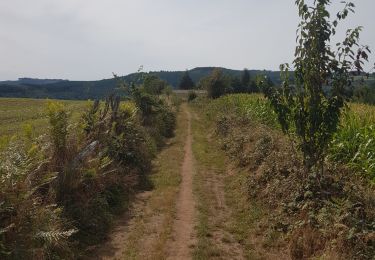
Randonnée A pied de 17,7 km à découvrir à Auvergne-Rhône-Alpes, Rhône, Deux-Grosnes. Cette randonnée est proposée par Thomasdanielle.
D/A départ de la la Salle communale.
Randonnée village du 8 mai 2023, belle marche mais difficile pour randonneurs débutants.
Organisée par Animations Loisirs et rencontres "Les Genets"
Les 2 ravitaillements au cours de la randonnée étaient copieux et bons (RAS), café offert à l'arrivée le matin soupe à l'oignon au retour.
Je recommande cette marche du village, il ne faut pas hésiter à la faire.
 - Photo 1")
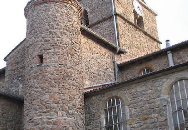
 - Photo 2")
Marche
Marche
Marche
Marche
A pied
A pied
Marche
Marche
Course à pied