


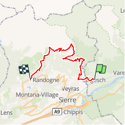


5,5 km | 7,8 km-effort

Randonnées de la Maison du tourisme de Crans-Montana GUIDE+


Application GPS de randonnée GRATUITE
 SityTrail
IGN / Instituts géographiques
SityTrail World
Le monde est à vous
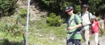
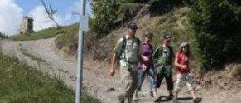
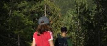
Randonnée Marche de 20 km à découvrir à Valais, Loèche, Salquenen. Cette randonnée est proposée par Maison du Tourisme Crans-Montana.
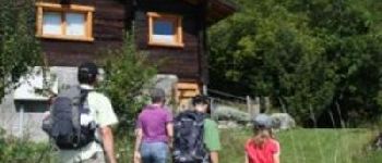
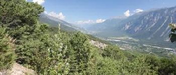
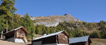
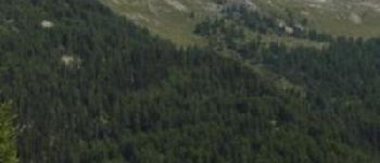
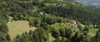
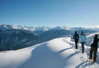
Walk in the steps of our ancestors and discover their past...with lives divided between the villages, the mayens (huts) and high mountain pastures, their wanderings followed the natural cycles of vegetation and allowed them to live off the land.


A pied

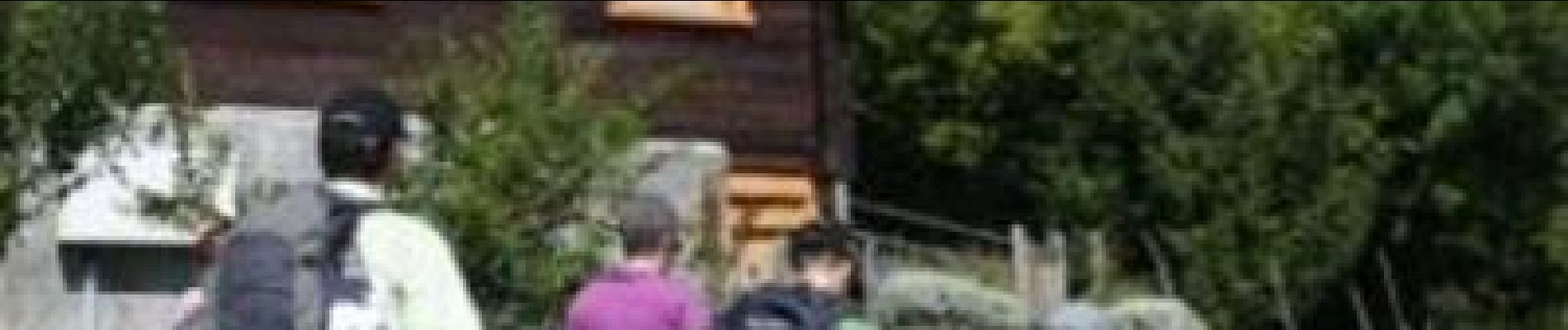
Marche

Marche
Autre activité
Marche
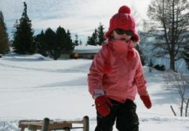
Raquettes à neige
V.T.T.
Marche