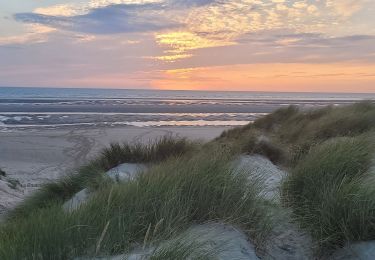
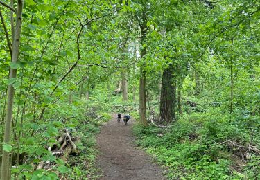
34 km | 38 km-effort
sentier la butte aux signaux
Eddy Vincent
Utilisateur
Longueur
3,1 km
Altitude max
67 m
Dénivelé positif
62 m
Km-Effort
4 km
Altitude min
18 m
Dénivelé négatif
69 m
Boucle
Oui
Date de création :
2023-05-07 07:01:15.013
Dernière modification :
2023-05-07 08:02:25.114
1h00
Difficulté : Facile
Application GPS de randonnée GRATUITE
À propos
Randonnée Marche de 3,1 km à découvrir à Hauts-de-France, Pas-de-Calais, Camiers. Cette randonnée est proposée par Eddy Vincent.
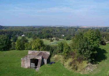
Localisation
Pays :
France
Région :
Hauts-de-France
Département/Province :
Pas-de-Calais
Commune :
Camiers
Localité :
Unknown
Départ:(Dec)
Départ:(UTM)
402173 ; 5600836 (31U) N.
Commentaires
Randonnées à proximité
Les Garnoulles - Etaples
Vélo
Moyen
(2)
Étaples,
Hauts-de-France,
Pas-de-Calais,
France
2h 45min
Oui
Le sentier du Rombly - Etaples
Marche
Difficile
(3)
Étaples,
Hauts-de-France,
Pas-de-Calais,
France
14,1 km | 17,3 km-effort
3h 30min
Oui
Sentier de Rombly
A pied
Moyen
Étaples,
Hauts-de-France,
Pas-de-Calais,
France
17,2 km | 21 km-effort
4h 48min
Oui
Marche nordique : Boucle 12 km Le Touquet - Merlimont
Marche nordique
Très facile
Le Touquet-Paris-Plage,
Hauts-de-France,
Pas-de-Calais,
France
12,3 km | 12,5 km-effort
1h 59min
Oui
Sur la route du musée
Marche
Le Touquet-Paris-Plage,
Hauts-de-France,
Pas-de-Calais,
France
8,4 km | 9 km-effort
1h 55min
Oui
Balade dans la baie de Canche
Marche
Très facile
Le Touquet-Paris-Plage,
Hauts-de-France,
Pas-de-Calais,
France
7,3 km | 7,8 km-effort
1h 24min
Non
ballade
Marche
Facile
(1)
Camiers,
Hauts-de-France,
Pas-de-Calais,
France
7,8 km | 8,3 km-effort
1h 51min
Non
Le Mont Saint Frieux
Marche
Facile
(1)
Dannes,
Hauts-de-France,
Pas-de-Calais,
France
6,1 km | 7,8 km-effort
2h 0min
Oui
Étaples - La forestière
Marche
Facile
Étaples,
Hauts-de-France,
Pas-de-Calais,
France
4,4 km | 5,5 km-effort
1h 26min
Oui