


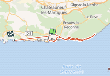

17,1 km | 24 km-effort

Utilisateur


Application GPS de randonnée GRATUITE
 SityTrail
IGN / Instituts géographiques
SityTrail World
Le monde est à vous
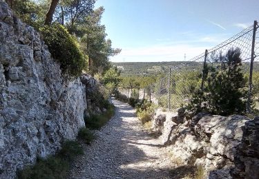
Randonnée Marche de 29 km à découvrir à Provence-Alpes-Côte d'Azur, Bouches-du-Rhône, Carry-le-Rouet. Cette randonnée est proposée par acatala.
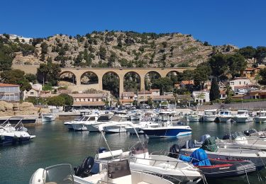
Chemin des douaniers de Carry-le-Rouet à Niolon (13 km) et retour en train.
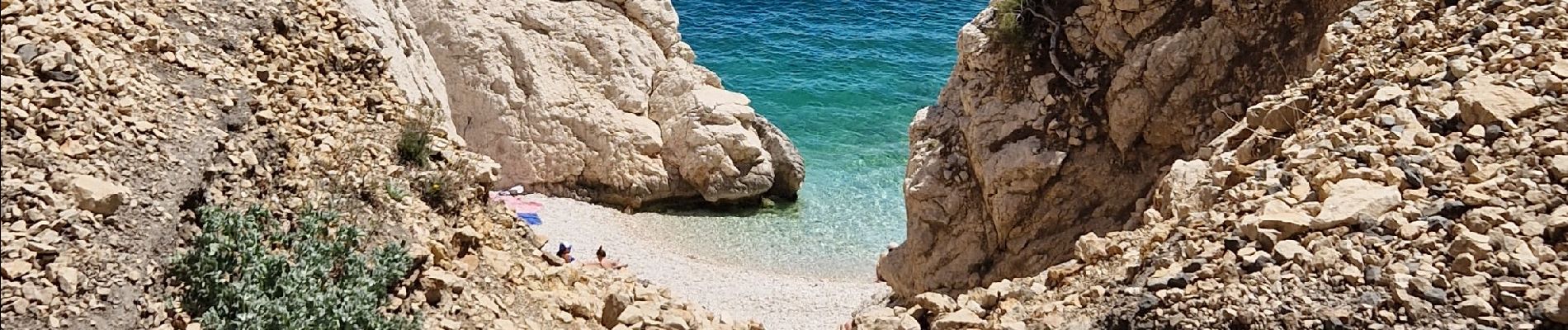
baignade à la Calanque de l'Erevine.


Marche
A pied

A pied

A pied
A pied
A pied

A pied
A pied
Marche