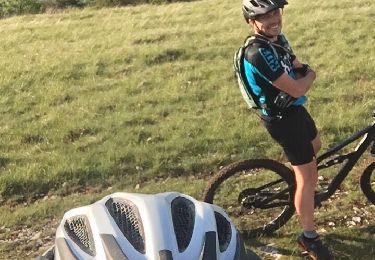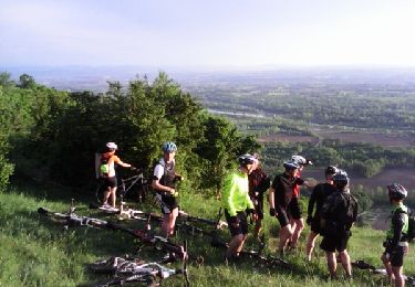

Belley-St Bois Ambléon

jeannot01
Utilisateur

Longueur
35 km

Altitude max
409 m

Dénivelé positif
682 m

Km-Effort
44 km

Altitude min
220 m

Dénivelé négatif
683 m
Boucle
Oui
Date de création :
2023-05-03 15:41:29.989
Dernière modification :
2023-05-04 07:37:16.065
3h04
Difficulté : Très difficile

Application GPS de randonnée GRATUITE
À propos
Randonnée V.T.T. de 35 km à découvrir à Auvergne-Rhône-Alpes, Ain, Belley. Cette randonnée est proposée par jeannot01.
Description
Un tour assez roulant et varié.
Un départ qui passe par la forêt de Rothone puis direction ST Bois et Ambléon.
Pas de difficulté particulière. Quelques petites grimpettes mais qui ne sont pas trop longues.
Localisation
Pays :
France
Région :
Auvergne-Rhône-Alpes
Département/Province :
Ain
Commune :
Belley
Localité :
Unknown
Départ:(Dec)
Départ:(UTM)
709830 ; 5069748 (31T) N.
Commentaires
Randonnées à proximité

Inimond depuis Belley par le chemin forestier


V.T.T.
Difficile
(1)
Belley,
Auvergne-Rhône-Alpes,
Ain,
France

39 km | 54 km-effort
3h 0min
Oui

29-04


V.T.T.
Difficile
(1)
Belley,
Auvergne-Rhône-Alpes,
Ain,
France

35 km | 46 km-effort
3h 0min
Oui

Entre lac et rivière


V.T.T.
Difficile
(1)
Pollieu,
Auvergne-Rhône-Alpes,
Ain,
France

30 km | 36 km-effort
2h 13min
Oui

Entre Belley et Vognes en passant par le lac de ST Champs


V.T.T.
Très facile
(1)
Belley,
Auvergne-Rhône-Alpes,
Ain,
France

25 km | 32 km-effort
2h 28min
Oui

Belley-Colomieu-Appregnin


V.T.T.
Difficile
(1)
Belley,
Auvergne-Rhône-Alpes,
Ain,
France

32 km | 41 km-effort
2h 32min
Oui

Boucles dans Rothones sous la pluie


V.T.T.
Moyen
(1)
Belley,
Auvergne-Rhône-Alpes,
Ain,
France

24 km | 32 km-effort
1h 50min
Oui

6-5-15


V.T.T.
Très facile
(1)
Saint-Germain-les-Paroisses,
Auvergne-Rhône-Alpes,
Ain,
France

25 km | 37 km-effort
2h 57min
Oui

03-9-14


V.T.T.
Très facile
(1)
Belley,
Auvergne-Rhône-Alpes,
Ain,
France

32 km | 42 km-effort
2h 32min
Oui


 SityTrail


