


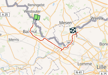

24 km | 30 km-effort

Utilisateur


Application GPS de randonnée GRATUITE
 SityTrail
IGN / Instituts géographiques
SityTrail World
Le monde est à vous
Randonnée Marche de 32 km à découvrir à Hauts-de-France, Nord, Bailleul. Cette randonnée est proposée par jeff2.
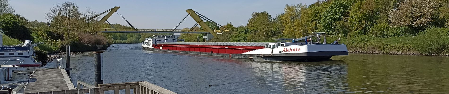
Nous longeons la frontière, chemin de Halage le long de la Lys, puis de la Deule.
La capitainerie de Deulemont, nous héberge, grâce à la Mairie.
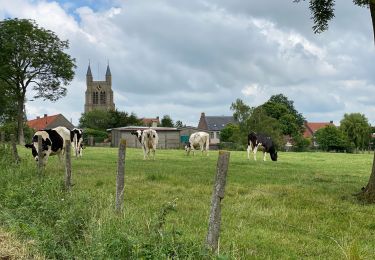
Belle balade.
Beau Pays.
Le gens du nord...


Marche

Marche

A pied

Marche

Moteur
Marche

Marche

Marche
Marche