20 km | 24 km-effort
champigny FPE
DMathieu10
Utilisateur
Longueur
11,8 km
Altitude max
135 m
Dénivelé positif
85 m
Km-Effort
13 km
Altitude min
114 m
Dénivelé négatif
85 m
Boucle
Oui
Date de création :
2023-05-03 11:55:47.529
Dernière modification :
2023-05-03 15:28:12.453
2h51
Difficulté : Très facile
Application GPS de randonnée GRATUITE
À propos
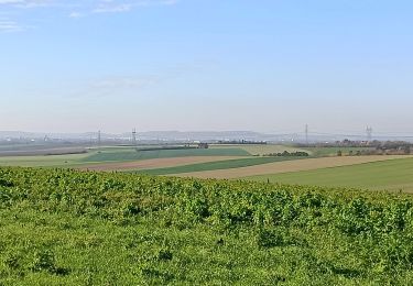
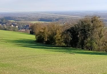
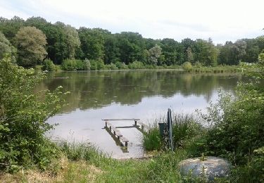
Randonnée Marche de 11,8 km à découvrir à Grand Est, Aube, Laubressel. Cette randonnée est proposée par DMathieu10.
Localisation
Pays :
France
Région :
Grand Est
Département/Province :
Aube
Commune :
Laubressel
Localité :
Unknown
Départ:(Dec)
Départ:(UTM)
592207 ; 5350573 (31U) N.
Commentaires
Randonnées à proximité
Laubressel
Marche
Très difficile
Laubressel,
Grand Est,
Aube,
France
19,4 km | 23 km-effort
5h 12min
Oui
Champigny 13,5km le 19.10.2021
Marche
Moyen
Laubressel,
Grand Est,
Aube,
France
13,5 km | 14,9 km-effort
3h 2min
Oui
Dosches (bon) le 21-05-2018
Marche
Moyen
Dosches,
Grand Est,
Aube,
France
12,9 km | 14,4 km-effort
3h 9min
Oui
Laubressel Patrick
Marche
Difficile
Laubressel,
Grand Est,
Aube,
France
12,2 km | 14,3 km-effort
3h 15min
Non
Mesnil st pere
Marche nordique
Très facile
(1)
Mesnil-Sellières,
Grand Est,
Aube,
France
11,7 km | 13,5 km-effort
2h 33min
Oui
lusigny 1er 10 23
Vélo de route
Très difficile
Lusigny-sur-Barse,
Grand Est,
Aube,
France
56 km | 62 km-effort
1h 10min
Oui
Laubressel patrick
Marche
Difficile
Laubressel,
Grand Est,
Aube,
France
12,2 km | 14,3 km-effort
2h 40min
Non