


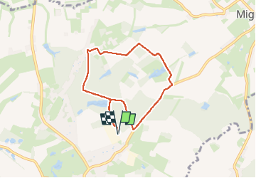


15,2 km | 17,4 km-effort

Utilisateur GUIDE


Application GPS de randonnée GRATUITE
 SityTrail
IGN / Instituts géographiques
SityTrail World
Le monde est à vous
Randonnée Marche de 6,4 km à découvrir à Wallonie, Hainaut, Le Rœulx. Cette randonnée est proposée par MicDul.
Petite balade dans le bois de La Haye du Roeulx.
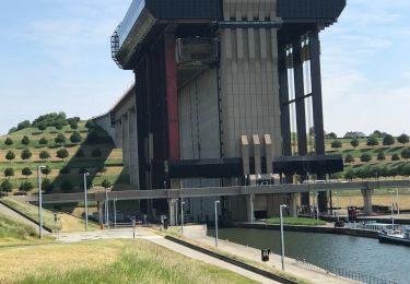
Domaine Aldo Vastapane (homme d'affaires Belge d'origine Italienne)
Un court passage sur la route Le Roeulx-Mignault, soyez prudents.
Départ : Centre sportif - Rue de la Station 142 - Le Roeulx


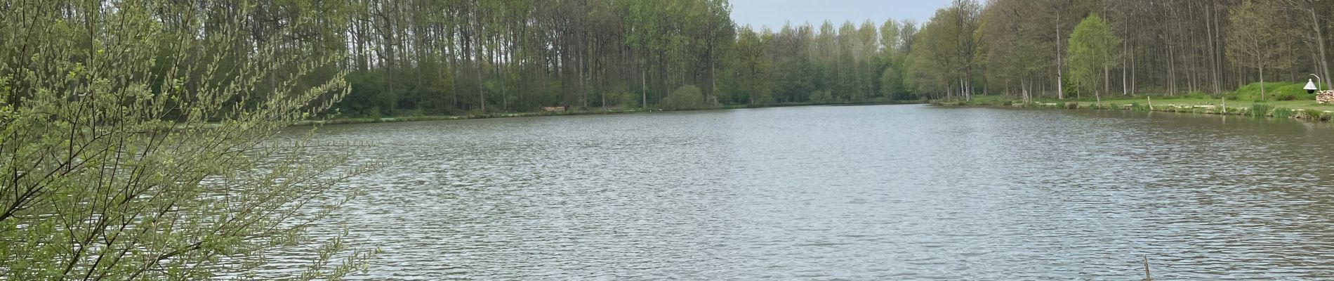
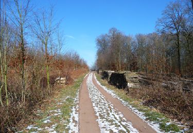
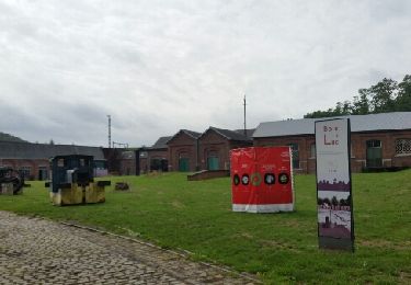
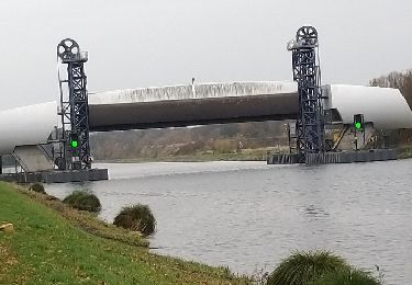
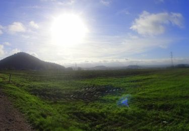
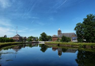
32 photos au total. Cliquez sur une photo pour les afficher toutes dans la galerie.
Marche
Marche
Vélo
Vélo

Marche
V.T.T.
Marche
Marche
Marche