


9,2 km | 10,2 km-effort


Utilisateur


Application GPS de randonnée GRATUITE
 SityTrail
IGN / Instituts géographiques
SityTrail World
Le monde est à vous
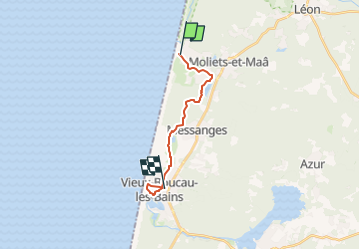
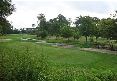
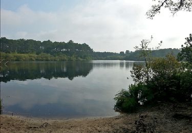
Randonnée Marche de 13,5 km à découvrir à Nouvelle-Aquitaine, Landes, Moliets-et-Maâ. Cette randonnée est proposée par Céline Charbonnieras.
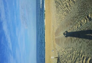
Moliets - Vieux Boucau
Jour 9 d'une randonnée sur la côte Atlantique du Bassin d'Arcachon à Biarritz
D : Logis Hôtel de L'Océan Rue de la Balise, Moliets-et-Maa
A : Boutique Hotel Lumaa Marinero 15, Grand Rue, Vieux-Boucau-les-Bains
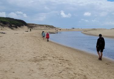
Marche
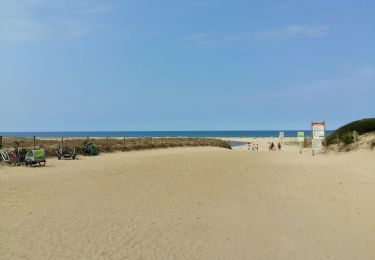
Marche
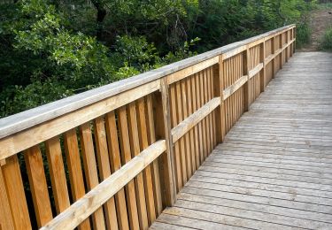
Marche

Marche
Marche
Marche

Marche
Marche
V.T.T.