


24 km | 29 km-effort

Utilisateur GUIDE


Application GPS de randonnée GRATUITE
 SityTrail
IGN / Instituts géographiques
SityTrail World
Le monde est à vous
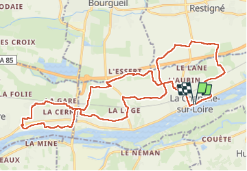
Randonnée Marche de 27 km à découvrir à Centre-Val de Loire, Indre-et-Loire, La Chapelle-sur-Loire. Cette randonnée est proposée par Orcal37.
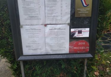
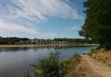
La Chapelle-sur-Loire - PR GRP Coteaux de Bourgueil Port Boulet - 26.6km 105m 6h00 (40mn) - 2023 04 29
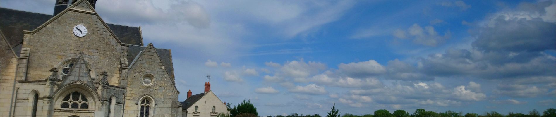
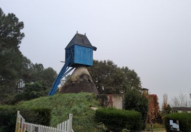
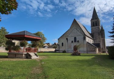
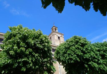
 - 2023 04 29 - Photo 1")
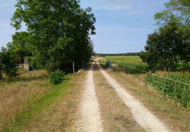
 - 2023 04 29 - Photo 2")
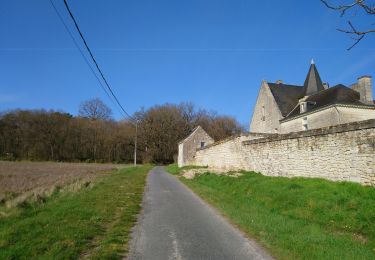
 - 2023 04 29 - Photo 3")
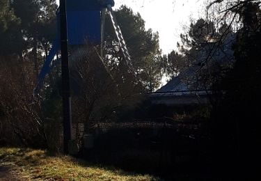
 - 2023 04 29 - Photo 4")
 - 2023 04 29 - Photo 5")
 - 2023 04 29 - Photo 6")
 - 2023 04 29 - Photo 7")
 - 2023 04 29 - Photo 8")
 - 2023 04 29 - Photo 9")
 - 2023 04 29 - Photo 10")
Marche
Marche
Marche
Marche
Marche
Marche
Marche
Vélo électrique

Marche nordique