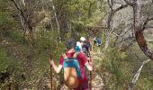

Nant Cantobre Nant

jeff2
Utilisateur

Longueur
15,3 km

Altitude max
863 m

Dénivelé positif
605 m

Km-Effort
23 km

Altitude min
453 m

Dénivelé négatif
593 m
Boucle
Oui
Date de création :
2023-04-28 07:25:57.504
Dernière modification :
2023-04-28 15:23:52.35
7h01
Difficulté : Moyen

Application GPS de randonnée GRATUITE
À propos
Randonnée Marche de 15,3 km à découvrir à Occitanie, Aveyron, Nant. Cette randonnée est proposée par jeff2.
Description
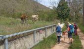
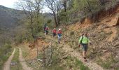
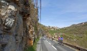
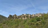
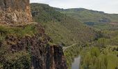
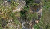
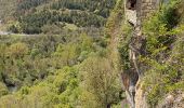
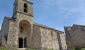
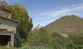
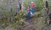
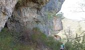
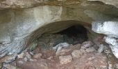
Belle montée à la fraîche, vue exceptionnelle, et descente sur Cantobre, déjeuner sur la place du village.
Retour tranquille.
Localisation
Pays :
France
Région :
Occitanie
Département/Province :
Aveyron
Commune :
Nant
Localité :
Unknown
Départ:(Dec)
Départ:(UTM)
524308 ; 4874363 (31T) N.
Commentaires
Randonnées à proximité
Le roc nantais


Marche
Moyen
Saint-Jean-du-Bruel,
Occitanie,
Aveyron,
France

22 km | 32 km-effort
7h 7min
Oui

Montredon


Marche
Facile
(1)
La Roque-Sainte-Marguerite,
Occitanie,
Aveyron,
France

9,6 km | 11,5 km-effort
2h 13min
Oui


Montredon Salvage


Marche
Très facile
La Roque-Sainte-Marguerite,
Occitanie,
Aveyron,
France

19,9 km | 26 km-effort
8h 25min
Non

Trail hopitalier 2016


Course à pied
Très facile
(2)
Nant,
Occitanie,
Aveyron,
France

29 km | 45 km-effort
Inconnu
Oui

la vallée de la Dourbie


Marche
Difficile
(3)
Saint-Jean-du-Bruel,
Occitanie,
Aveyron,
France

19,1 km | 28 km-effort
5h 48min
Oui

roc nantais


Marche
Difficile
(3)
Nant,
Occitanie,
Aveyron,
France

12,4 km | 19,1 km-effort
4h 2min
Oui


 SityTrail


