

Genechier Bis du 23.4.23

SOYARD
Utilisateur

Longueur
9,9 km

Altitude max
498 m

Dénivelé positif
278 m

Km-Effort
13,5 km

Altitude min
350 m

Dénivelé négatif
268 m
Boucle
Oui
Date de création :
2023-04-23 19:12:14.327
Dernière modification :
2023-04-23 19:19:33.977
3h04
Difficulté : Facile

Application GPS de randonnée GRATUITE
À propos
Randonnée A pied de 9,9 km à découvrir à Bourgogne-Franche-Comté, Haute-Saône, Chagey. Cette randonnée est proposée par SOYARD.
Description
Réduction de 3 kms. Parcours ombragé forêt. Passage humide après traversée D 218 sur 1,5 km avec montée (sens D 218 Chavanne).
Localisation
Pays :
France
Région :
Bourgogne-Franche-Comté
Département/Province :
Haute-Saône
Commune :
Chagey
Localité :
Unknown
Départ:(Dec)
Départ:(UTM)
330249 ; 5276287 (32T) N.
Commentaires
Randonnées à proximité
La Pierre Plate - Héricourt


Marche
Difficile
(3)
Héricourt,
Bourgogne-Franche-Comté,
Haute-Saône,
France

12 km | 16,4 km-effort
3h 10min
Oui

champey


Marche
Difficile
(1)
Champey,
Bourgogne-Franche-Comté,
Haute-Saône,
France

12,6 km | 16,5 km-effort
3h 37min
Oui
VTT - Châlonvillars - Etobon - Ronchamp - Plancher-Bas - Malsaucy


Vélo électrique
Difficile
Châlonvillars,
Bourgogne-Franche-Comté,
Haute-Saône,
France

71 km | 90 km-effort
5h 50min
Oui
Echenans et son fort


Marche
Très difficile
Mandrevillars,
Bourgogne-Franche-Comté,
Haute-Saône,
France

14,8 km | 19,6 km-effort
4h 27min
Oui
Châlonvillars - Fort du Salbert - Evette-Salbert


Marche
Difficile
(1)
Châlonvillars,
Bourgogne-Franche-Comté,
Haute-Saône,
France

11 km | 15,8 km-effort
3h 36min
Oui
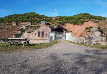
Châlonvillars - Fort Giromagny en passant au milieu des étangs


V.T.T.
Très difficile
Châlonvillars,
Bourgogne-Franche-Comté,
Haute-Saône,
France

40 km | 51 km-effort
3h 31min
Oui
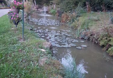
Châlonvillars - Menhir - Mandrevillars - Fort Essert et du Salbert


V.T.T.
Très difficile
Châlonvillars,
Bourgogne-Franche-Comté,
Haute-Saône,
France

31 km | 42 km-effort
2h 53min
Oui
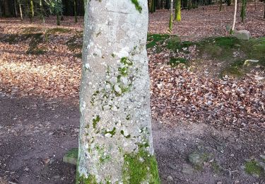
Châlonvillars - le mehnir - Mandrevillars


Marche
Moyen
Châlonvillars,
Bourgogne-Franche-Comté,
Haute-Saône,
France

13,4 km | 17,1 km-effort
2h 39min
Oui
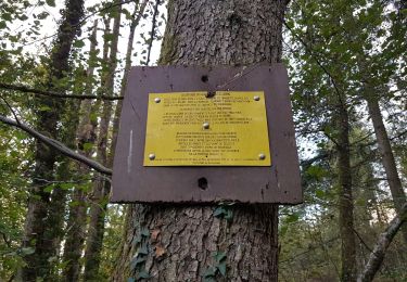
Châlonvillars - Mandrevillars


Marche
Facile
Châlonvillars,
Bourgogne-Franche-Comté,
Haute-Saône,
France

9,5 km | 11,9 km-effort
1h 33min
Oui


 SityTrail


