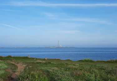
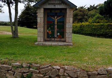
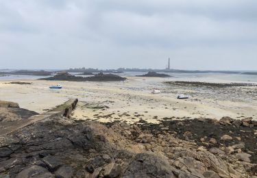
9,7 km | 10,8 km-effort
La tête de l'île
yago1404
Utilisateur GUIDE
Longueur
6,1 km
Altitude max
17 m
Dénivelé positif
42 m
Km-Effort
6,7 km
Altitude min
-2 m
Dénivelé négatif
42 m
Boucle
Oui
Date de création :
2023-04-19 12:42:56.0
Dernière modification :
2023-04-19 14:36:25.201
1h52
Difficulté : Facile
Application GPS de randonnée GRATUITE
À propos
Randonnée Marche de 6,1 km à découvrir à Bretagne, Finistère, Plouguerneau. Cette randonnée est proposée par yago1404.
Localisation
Pays :
France
Région :
Bretagne
Département/Province :
Finistère
Commune :
Plouguerneau
Localité :
Unknown
Départ:(Dec)
Départ:(UTM)
387128 ; 5387307 (30U) N.
Commentaires
Randonnées à proximité
GR34 Plougreneau, embouchure nord de l'Aber Wrac'h
Marche
Facile
(2)
Plouguerneau,
Bretagne,
Finistère,
France
2h 10min
Oui
St Michel à St Pabu
Cyclotourisme
Moyen
Plouguerneau,
Bretagne,
Finistère,
France
55 km | 63 km-effort
5h 2min
Non
AberWrac'h - Traon Bizin - 4km
Marche
Moyen
(1)
Landéda,
Bretagne,
Finistère,
France
4,1 km | 5 km-effort
1h 0min
Oui
06.09.24 Landéda -- Treglonou (Touzilit)
Marche
Très difficile
Landéda,
Bretagne,
Finistère,
France
24 km | 28 km-effort
6h 15min
Non
05.09.23 Lilia -- Landéda
Marche
Très difficile
Plouguerneau,
Bretagne,
Finistère,
France
17,1 km | 21 km-effort
4h 43min
Non
Abers vrac Aber Benoît
Marche nordique
Très facile
Landéda,
Bretagne,
Finistère,
France
18,8 km | 21 km-effort
3h 0min
Oui
De la grève blanche à Gervenny plage
Marche
Facile
Plouguerneau,
Bretagne,
Finistère,
France
6,6 km | 7,1 km-effort
2h 9min
Non