


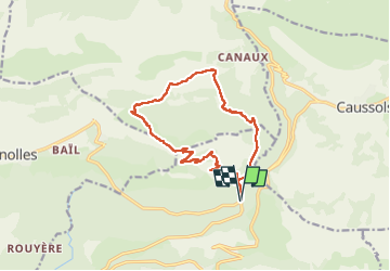

14,7 km | 19,9 km-effort

Utilisateur


Application GPS de randonnée GRATUITE
 SityTrail
IGN / Instituts géographiques
SityTrail World
Le monde est à vous
Randonnée Marche de 16,1 km à découvrir à Provence-Alpes-Côte d'Azur, Alpes-Maritimes, Saint-Vallier-de-Thiey. Cette randonnée est proposée par Christiancordin.
Maison forestière de Nans-forêt de Nans-source de Thiey-sommet de la montagne de Thiey 1553 m- St Hubert-le gros Adrech-le petit Adrech


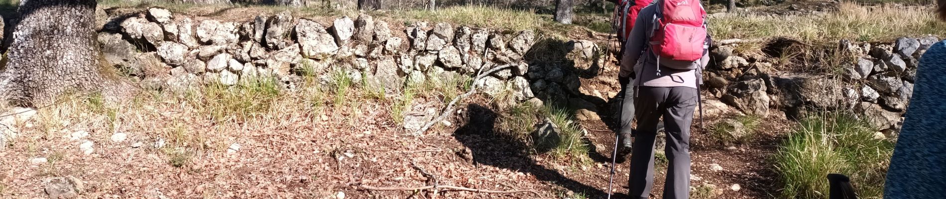
Marche

Marche

Marche

Marche

Marche

Marche

A pied

Marche

Marche