


7,7 km | 9,1 km-effort


Utilisateur


Application GPS de randonnée GRATUITE
 SityTrail
IGN / Instituts géographiques
SityTrail World
Le monde est à vous
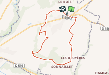
Randonnée Marche de 8,8 km à découvrir à Auvergne-Rhône-Alpes, Isère, Pajay. Cette randonnée est proposée par raymondfn.
Départ : parking de la mairie et de l'église de Pajay.
Sentier qui serpente dans la zone cultivée, modérément vallonée, des Antées.
Passage aux hameaux des Bruyères et de Gourras ; le bois de Gourras abrite un sous-bois dense de fragon.
La chapelle du Truchaud.
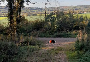
Animaux rencontrés : wallabies (!)

Marche
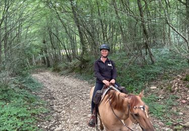
Randonnée équestre
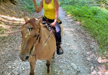
Randonnée équestre
Marche
Marche
Randonnée équestre
Marche

A pied
Marche